
New weather maps have revealed a massive snow bomb set to hit the UK, with flurries of up to one inch per hour expected to descend over a 713-mile stretch of the country in early January 2026. The maps, from Ventusky, show the snowfall beginning around 1:30pm on January 8, with accumulations of between 1cm and 5cm across a broad area.
The affected region spans from Eastbourne on England's south coast to Mellon Udrigle on the Scottish northeast coast, including major cities such as London, Oxford, Reading, Birmingham, Manchester, and Glasgow, as well as the entire Lake District National Park. Residents in these areas could see around 2.5cm to 3cm of snowfall per hour, totalling approximately one inch during the afternoon.
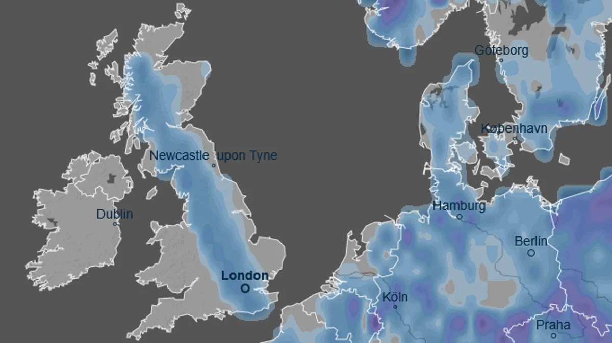
Accompanying the snow, temperatures are forecast to drop to between 0°C and 5°C, according to WXCharts. The Ventusky maps also indicate widespread snowfall across Europe, with mountainous regions potentially receiving up to 200cm (six feet) of snow.

However, the Met Office, the UK's official forecaster, has not yet predicted such heavy snowfall. Its forecast for December 31 to January 9 mentions “colder and drier than average conditions” and the possibility of “wintry hazards” but does not specify significant snow. The Met Office statement notes: “High pressure is likely to be centred to the west or northwest… with low pressure to the east.”


