
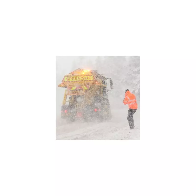
The United Kingdom is preparing for a significant winter onslaught, with new weather data indicating that heavy snowfall is just days away. A severe Arctic blast is forecast to sweep across the nation, bringing a sharp temperature drop and substantial snow accumulation to several major urban centres.
Which Areas Will Be Hit Hardest?
According to detailed maps from WXCharts, which utilises Met Desk data, the impending snowstorms will originate from the Scottish Highlands and extend southwards into the North West of England. The initial flurries are predicted to begin in the early hours of December 4.
The first regions to experience the snow will be Cumbria, Lancashire, Greater Manchester, the Scottish Borders, and the Highlands. The situation is expected to intensify rapidly, with projections showing up to two inches of snow accumulating in the North West within just six hours. The Highlands are set to bear the brunt, with a potential for four inches of snow piling up in the same timeframe.

A Detailed Timeline of the Wintry Onslaught
The forecast pinpoints seven cities that are expected to face the most severe disruptions from the snowfall. These are Manchester, Liverpool, Blackpool, Lancaster, Carlisle, Glasgow, and Inverness.
This wintry weather will be preceded by a bitter cold snap. On November 25, a plunge of frigid air will envelop the UK. The chilliest spot is predicted to be the Scottish Highlands, where temperatures could plummet to a bone-chilling -6°C. Other parts of Scotland will also shiver, with Aberdeen at around -2°C, and Dundee and Glasgow near -1°C and 0°C respectively.
In England, the coldest conditions are expected in the Pennines, the Midlands, and the north, with temperatures dropping to -1°C. Cities like Sheffield will hover around 0°C to -1°C, while Leeds and Stoke-on-Trent will struggle to reach above 1°C. London will manage to stay just in positive figures, with lows of 1°C.
What Does the Met Office Say?
The Met Office's broader outlook for the period from November 27 to December 6 suggests that rain will be a frequent feature for many, which could turn heavy and prolonged with a risk of gales. However, they also indicate the possibility of short, settled periods, particularly in the south-east, which would bring an increased risk of frost and fog.
Despite the incoming cold spell, the Met Office states that temperatures for this period are expected to be milder than recently seen, generally above average, though this will be punctuated by the severe cold and snow events.
Residents across the affected regions are advised to stay updated with the latest weather warnings and to prepare for potential travel disruption as the country moves into the depths of winter.


