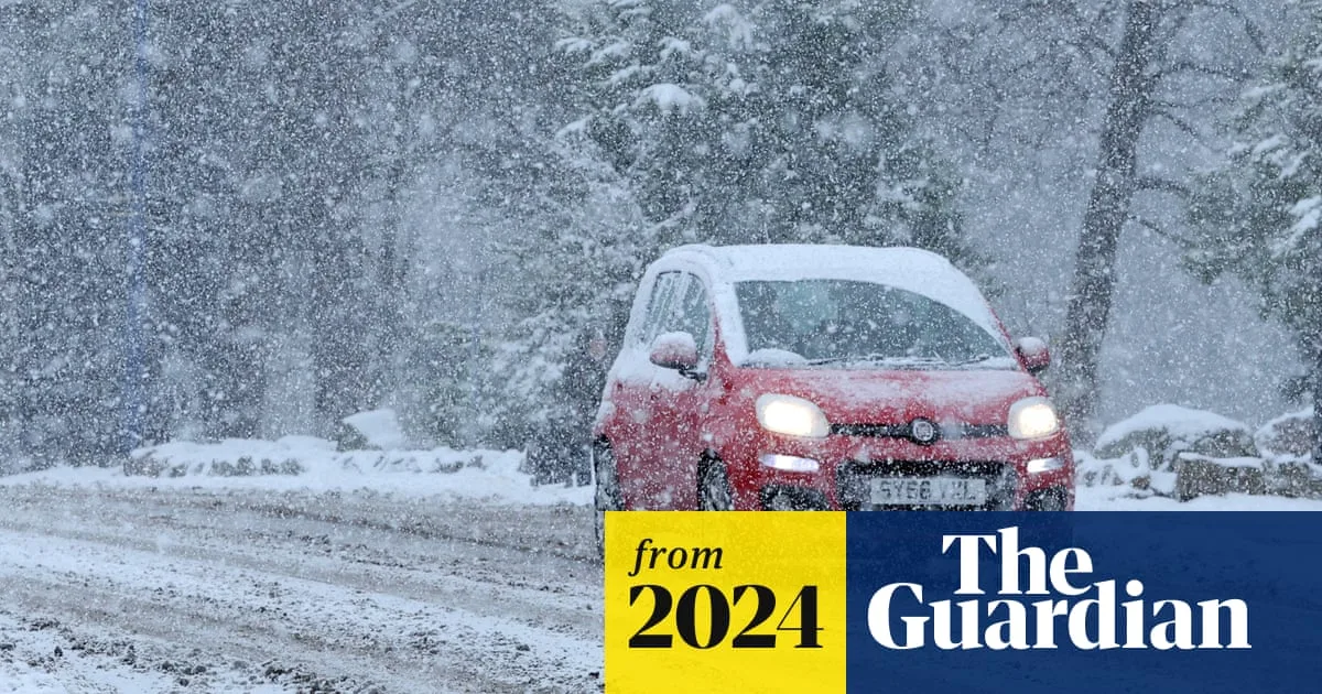
UK Snow: Arctic Blast to Hit 23 Areas in First Major Winter Freeze
Arctic Blast Forecast to Bring Snow to 23 UK Areas

The UK is set for its first significant taste of winter as forecasters warn an Arctic blast will sweep across the country, bringing snow to over 20 areas and a dramatic plunge in temperatures.

Met Office Issues Wintry Warning

The Met Office has confirmed a dramatic shift in the weather is on the way, following a weekend of heavy rain. Experts state there is a "reasonable chance" of snow as a mass of frigid Arctic air engulfs the nation. This cold snap is expected to see temperatures fall several degrees below the seasonal average.

High pressure is predicted to dominate over the weekend before moving south towards the Azores. This shift will pull bitter northerly winds across Britain, dragging temperatures down and introducing wintry hazards.

Timeline of the Cold Snap and Snowfall

The freeze is expected to begin its grip in the early hours of Monday, November 17. Parts of Scotland could see the mercury drop to a bone-chilling -4°C. The cold is then forecast to spread southwards throughout the week.

By Tuesday, the North West of England could experience overnight lows of -2°C, with central England and Scotland seeing widespread temperatures between 0°C and 2°C on Wednesday.

According to forecast data from OpenWeather, the snowfall is expected to develop as follows:

  • Monday: Snow is possible in parts of Scotland and the North East.
  • Tuesday: Wales and potentially Gloucestershire in the South West could see snow.
  • Wednesday: Northern Ireland may be hit by snowfall.

Widespread Wintry Spell Expected

The Met Office indicates that the probability of snow will increase as the week progresses. A blog post from the forecaster detailed: "By Sunday and Monday, as colder air digs in, there is a reasonable chance of sleet and snow in northern Scotland, with the risk spreading further south into Northern Ireland, northern England, and North Wales by Tuesday."

The middle to the end of next week could bring the most significant disruption. The Met Office suggests a "widespread wintry spell" could hit the UK, with some weather models indicating a 20% or greater chance of more than 1cm of snow accumulating even in southern parts of the country.

Alongside the snow, there is a considerable risk of ice, particularly where rain falls onto frozen surfaces. The public is advised to stay updated with the latest forecasts and travel information as the cold weather sets in.