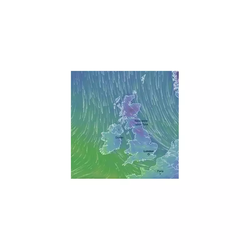
The United Kingdom is braced for a severe Arctic blast, with the Met Office issuing a stark warning for heavy snow and ice from Thursday into the weekend. Forecasters predict that up to 30 centimetres (11 inches) of snow could accumulate in some areas by Saturday, accompanied by disruptive gales and a significant wind chill making it feel as cold as -12°C.
Timeline of the Snowfall and Affected Regions
The disruptive weather is set to begin on Thursday as a strong northerly wind establishes itself, turning showers to snow. The initial focus will be on higher ground, but accumulations will build to lower levels by evening. By the early hours of Friday, parts of Scotland, including Grampian, Strathclyde, Central, Tayside and Fife, will see persistent snowfall.
As Friday morning progresses, the snow band will push southwards. By 6am on Friday, the Midlands and Northwest England, including Cheshire and Staffordshire, will experience significant snowfall. By midday, heavy snow is expected across north Wales, Shropshire, Staffordshire, and Warwickshire.
The low pressure system will then track southeast, bringing snow and potential travel disruption to Essex, parts of Kent, and the Home Counties, including Buckinghamshire, by Friday afternoon. Into Saturday early hours, forecasters anticipate further snow flurries across south Wales.
Severe Impacts: Travel Chaos and Dangerously Cold Winds
The Met Office has emphasised the high risk of significant disruption. The combination of heavy snow and strong winds will lead to blizzard conditions and drifting snow, particularly on higher routes. Travel disruption is expected, with road closures and delays highly likely. Power cuts are also a possibility.
While air temperatures will range from 4°C to -4°C, the fierce wind chill will make it feel much colder everywhere. The strongest winds are forecast for the east coast on Friday morning, especially around Humberside and Cleveland. On Saturday, gales could reach brutal speeds of up to 65mph in areas like Scarborough and Bridlington.
Official Advice for Staying Safe
The weather agency has warned the public of "a chance of injuries from slips and falls on icy surfaces" and that "untreated pavements and cycle paths might be impassable." For those who must travel, the Met Office advises essential preparation:
- Plan your route, checking for delays and road closures.
- Allow extra time for your journey and ensure your vehicle is ready for winter conditions.
- Pack an emergency kit including warm clothing, food, water, a blanket, torch, ice scraper, and an in-car phone charger.
Accumulations are forecast to be highly variable. Many areas could see 2 to 5cm, with 10cm possible in some low-lying spots. Above 200 metres, 10-20cm is likely, while the highest routes and hills in the warning area may see 30cm or more building up through the period.


