
A major winter weather event, reminiscent of the infamous 2022 storm, is poised to strike the United Kingdom as the New Year begins. The so-called 'Troll of Trondheim' is forecast to make a dramatic return, driving a colossal wall of Arctic snow straight towards British shores.
Arctic Onslaught: The Mechanics of the Snow Wall
According to senior meteorologist Jim Dale of British Weather Services, this severe weather is being triggered by a dislocation of the polar vortex. This spinning mass of cold, low pressure around the Arctic has been disrupted by stratospheric warming, pushing frigid air southwards across Scandinavia and the North Sea.
The result is a formidable 540-mile wall of snow forecast to stretch from Amsterdam in the Netherlands to the northern tip of Scotland. Weather maps indicate this Arctic barrage will first impact the UK on New Year's Eve, primarily affecting Scotland. By the end of New Year's Day, snowfall is expected to blanket most of the North Sea region.

Forecast Timeline and Accumulations
The Met Office has issued a yellow weather warning for snow and ice for northern Scotland, effective from 6am on New Year's Day until the end of Friday, 2 January. Mark Sidaway, Deputy Chief Forecaster at the Met Office, stated that a taste of winter is imminent, with the cold spell likely to persist through at least the first week of 2026.
Jim Dale provided specific accumulation forecasts, noting that up to five inches (approximately 13cm) of snow could fall in northern Scotland, with slightly lesser amounts in the North East of England. As the week progresses, the snow is expected to push further south.
- New Year's Day: Snow begins for Scotland.
- By 4 January: Snow forecast for Norfolk and mid-Wales.
- By 7 January: WXCharts maps suggest parts of northern Scotland could be buried under as much as 33cm of snow.
Dale explained that the Highlands and Grampians will be inundated first, followed by the North East. "Bit by bit, the whole thing will start to integrate further south, so places like Dartmoor, for example, and then the spine of Wales, all the way through to the Black Mountains," he said.
Widespread Impact and Official Warnings
This is not an isolated UK event. The dislocated polar vortex is bringing the same severe cold to much of northern and mid-Europe. For Britain, the direct Arctic push across Scandinavia echoes the conditions that spawned the original Troll of Trondheim storm in late 2022, which brought nearly five inches of snow to Scotland and plunged temperatures to -7°C.
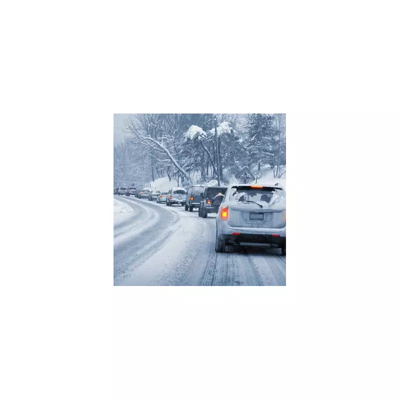
The Met Office warns that Arctic air and strong northerly winds will bring cold or very cold conditions to all parts of the UK, with severe, widespread frosts. The first significant snow of the winter for many is expected, accompanied by hazardous ice and the risk of freezing fog.
Authorities are urging the public to keep up to date with the latest forecasts and travel warnings as the prolonged cold snap establishes itself. The return of the Troll of Trondheim signals a harsh and disruptive start to January 2026, with communities across the nation advised to prepare for challenging winter conditions.


