
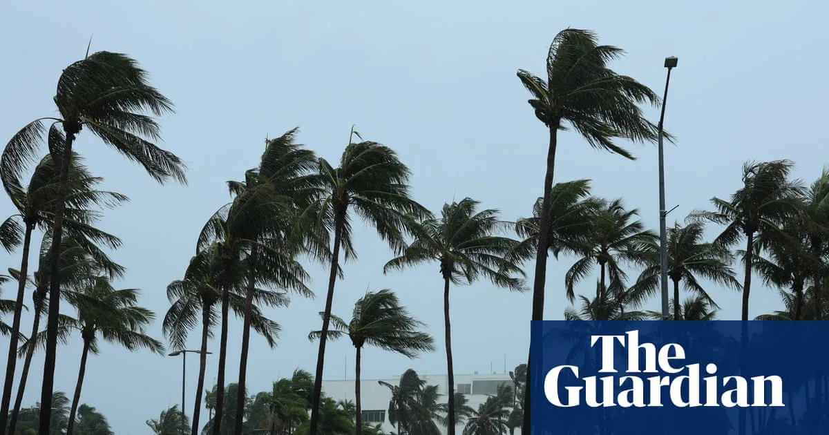
Severe Tropical Cyclone Fina has intensified into a category three system, the first cyclone of this strength in Australian waters in November in 20 years. The storm is tracking towards Darwin, with sustained winds near the centre of up to 150km/h and gusts up to 205km/h.
Darwin's airport and supermarkets have closed as the cyclone barrels past the city. The Bureau of Meteorology expects the system to intensify further to category four as it continues west through the southern Timor Sea towards the Kimberley coast.
Northern Territory Police incident controller Superintendent Kirsten Engels urged residents to go home and avoid sightseeing. “We need people to go home. No sightseeing, no joy rides. They must understand that what we are in danger of is gusts of wind, debris,” she said.

NT Chief Minister Lia Finocchiaro advised residents to sustain themselves and their families for 72 hours with clean water, food, blankets, and torches. The Australian Defence Force is on standby to assist if requested.
An emergency warning has been issued for Darwin to Cape Hotham, including parts of the Tiwi Islands. Residents are advised to take shelter now and activate their household emergency plans.


