
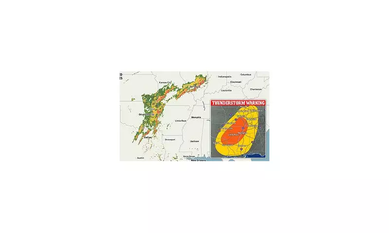
The Met Office has raised the alarm bells across the United Kingdom as forecasters predict an unprecedented severe weather event that could see tornadoes touching down alongside devastating flooding.
Dual Threat Emerges
Meteorological experts are tracking multiple weather systems converging over Britain, creating what they describe as a "perfect storm" scenario. The combination of warm, moist air colliding with colder fronts presents ideal conditions for tornado formation, particularly across central and southern regions.
Simultaneously, torrential rainfall is expected to overwhelm drainage systems, with some areas forecast to receive a month's worth of rain within 24 hours.

Regional Impact Assessment
Southern England faces the highest risk of tornado activity, with meteorologists advising residents to secure outdoor objects and prepare emergency kits. The unique topography of the region could funnel winds into destructive vortices.
Wales and the Midlands are on high alert for flash flooding, with emergency services pre-positioning resources in anticipation of rapid water rise. Several rivers are already approaching dangerous levels following recent rainfall.
Emergency Response Activation
Local authorities have activated their severe weather protocols, with sandbags being distributed in vulnerable areas and emergency shelters placed on standby. The Environment Agency has issued multiple flood warnings, urging residents in low-lying areas to consider temporary relocation.
Public Safety Guidance
Officials recommend that citizens:
- Monitor official weather updates regularly
- Avoid unnecessary travel during peak storm hours
- Prepare emergency kits including torches, batteries, and essential medications
- Secure valuable items in upper floors of properties
- Have evacuation plans ready for family and pets
Transport Disruption Expected
Major rail operators have announced potential service cancellations and delays, while airports are warning travellers to check flight status before departing. Road users are advised to exercise extreme caution, with potential for standing water and debris on highways.
The Met Office continues to monitor the situation closely, with updates expected throughout the day as the weather systems develop and move across the country.


