
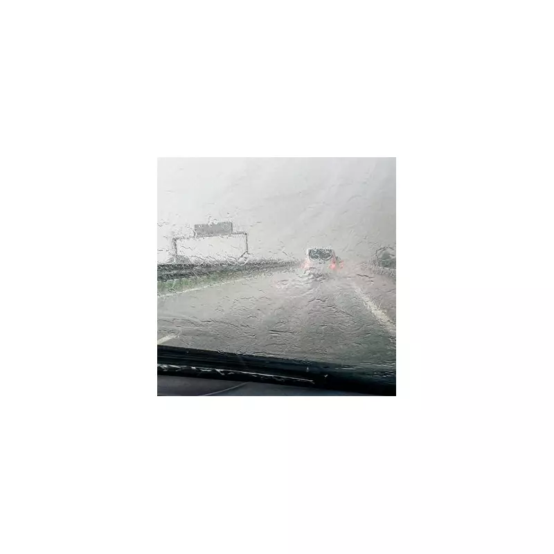
The Met Office has escalated its weather alert, issuing a serious amber warning for heavy rain that poses a 'danger to life' across parts of Wales.
Areas at Risk and Forecast Details
The warning is in effect from late Sunday until late Monday, primarily targeting central and south Wales. The national weather service has forecasted substantial rainfall, with 20-40 mm expected widely across the region.
However, more exposed, high-ground areas in south Wales are likely to see significantly higher accumulations. The Met Office stated that 60-80 mm could fall in these locations, with a possibility of 100-120 mm in a few places.

The following 15 local authority areas are under the amber warning:
- Blaenau Gwent
- Bridgend
- Caerphilly
- Cardiff
- Carmarthenshire
- Merthyr Tydfil
- Monmouthshire
- Neath Port Talbot
- Newport
- Pembrokeshire
- Powys
- Rhondda Cynon Taf
- Swansea
- Torfaen
- Vale of Glamorgan
Potential Impacts and Public Advice
Residents and businesses in the affected regions are being urged to prepare for significant disruption. The primary risks include flooding to homes and businesses, which could cause damage to property.
Travel is expected to be heavily impacted, with delays and cancellations likely for bus and train services. There is also a heightened risk of power cuts occurring in some areas. The public is advised to check the latest Met Office updates and travel information before embarking on journeys during this period.


