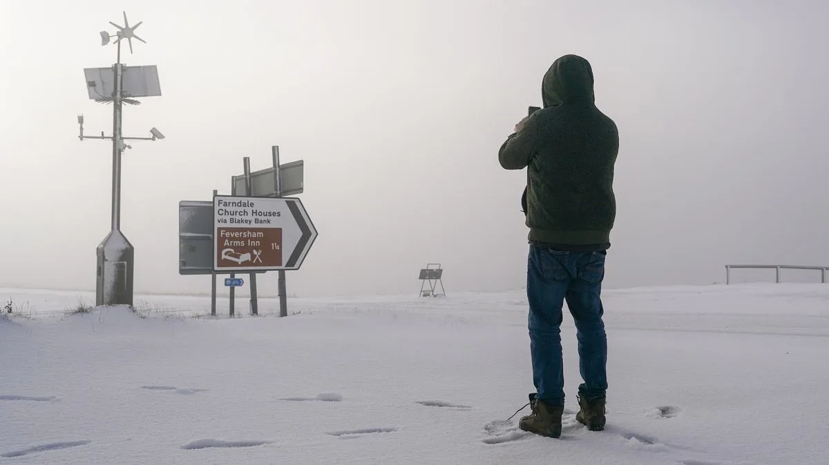
UK Snow: Exact Date of Big Freeze Forecast as Maps Turn White
UK Snow: Exact Date of Big Freeze Forecast

Britain is set to be gripped by a significant cold snap, with new meteorological data pinpointing the exact date a major freeze will blanket the country in snow. Forecasters anticipate a period of intense chill, with upwards of seven inches of snow possible as temperatures plunge below zero from north to south.

The Arrival of the Deep Freeze

Following a brief respite from last week's cold spell, a powerful band of freezing low pressure is forecast to sweep across the UK from the northwest. According to Metdesk forecasters, this Arctic intrusion is most likely to commence on December 6. The ensuing snowfall is expected to last for several days, transforming the landscape as it moves southward.

Fresh weather maps from the forecasting team illustrate the snow pushing as far south as the Cotswolds by December 6, indicating widespread wintry conditions. Data from WXCharts, which utilises Metdesk information, highlights that the heaviest snowfalls will concentrate in the Highlands, Cumbria, and Staffordshire. These regions could see accumulations of as much as seven inches.

Regional Impacts and Weather Warnings

While the primary snow threat is in the north and central UK, lighter dustings are anticipated in other areas, including most of Wales and northern Wales. Meteorologists at Netweather are warning of a precursor period of heavy rainfall, particularly in western areas, which could lead to flooding issues before temperatures drop sufficiently for snow.

Nick Finnis, writing on the Netweather blog, stated: "Highest rainfall totals across the west next week, where we could see well in excess of 100mm fall... So we may start to see an increase in flooding issues in the west and perhaps far south." He also highlighted that spring tides combined with strong winds could elevate the risk of coastal flooding.

Is a White Christmas on the Cards?

Despite the impending deep freeze, current predictions suggest this snowy pattern will not persist throughout the entire month. The intense cold is expected to be relatively short-lived, with temperatures forecast to rise again in the week following the Arctic storm. This means the likelihood of a white Christmas across the UK remains low for now, despite historical statistics showing snow falls somewhere in the UK on more than half of all Christmas Days.

The recent weather has been variable, with temperatures falling below freezing last week for many. However, Preston in Lancashire bucked this trend, recording a notably high temperature of 11.7°C. The BBC's longer-range forecast for December 1-7 indicates uncertainty, noting that a different positioning of high pressure could still increase the chances of colder flows developing later in the period.