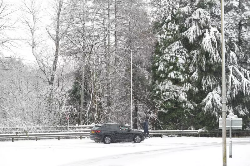
UK Braces for First Wintry Blast as Temperatures Set to Plummet
The United Kingdom could experience its first significant spell of wintry weather next week, according to the latest forecast from the Met Office. This prediction comes after a period of unseasonably mild conditions that saw record-breaking November temperatures, including the warmest Bonfire Night on record.
Potential for Snow in Northern Parts
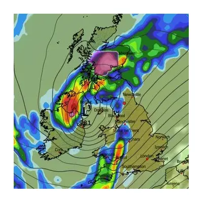
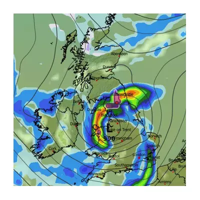
Speaking exclusively to The Independent, Met Office meteorologist Simon Partridge confirmed there is a genuine "potential" for snowfall across northern parts of the UK towards the end of next week and into the weekend. Scotland is considered the most likely region to see the season's first snow as cold air pushes in from the north.
However, Mr Partridge emphasised that the forecast remains uncertain, describing the situation as "all to play for." He explained that competing weather systems could dramatically alter the outcome, with warm air attempting to push northwards from the south.
Battle Between Warm and Cold Air Masses
"At the moment it looks like there is warm air trying to come in from the south and cold air coming in from the north," Mr Partridge stated. "It won't take a lot for the warm air to be the one that comes out on top which would mean it will probably be very similar to this week."
Should the warmer air prevail, Britain would experience continued mild temperatures and grey conditions similar to those witnessed recently. The country has just emerged from an exceptionally mild October, where mean temperatures registered 0.7°C above the 1991-2020 average, with Scotland and Northern Ireland experiencing slightly warmer conditions than other regions.
Despite this week's above-average temperatures, Mr Partridge noted that snow in Scotland during mid-November is not uncommon. While current predictions suggest any snowfall will be limited to Scotland, he cautioned that the cold air could potentially push further south depending on how weather patterns develop over the coming days.
The Met Office continues to monitor multiple computer models that run several times daily, with some indicating the arrival of sufficiently cold air to produce snow. The national forecaster advises the public to stay updated as the forecast evolves throughout the week.