The United Kingdom is preparing for a significant bout of wintry weather as two separate Arctic blasts are forecast to sweep across the country next week, potentially dumping up to 17cm (7 inches) of snow in some regions.
First Wave: Snow and Rain Arrive December 3
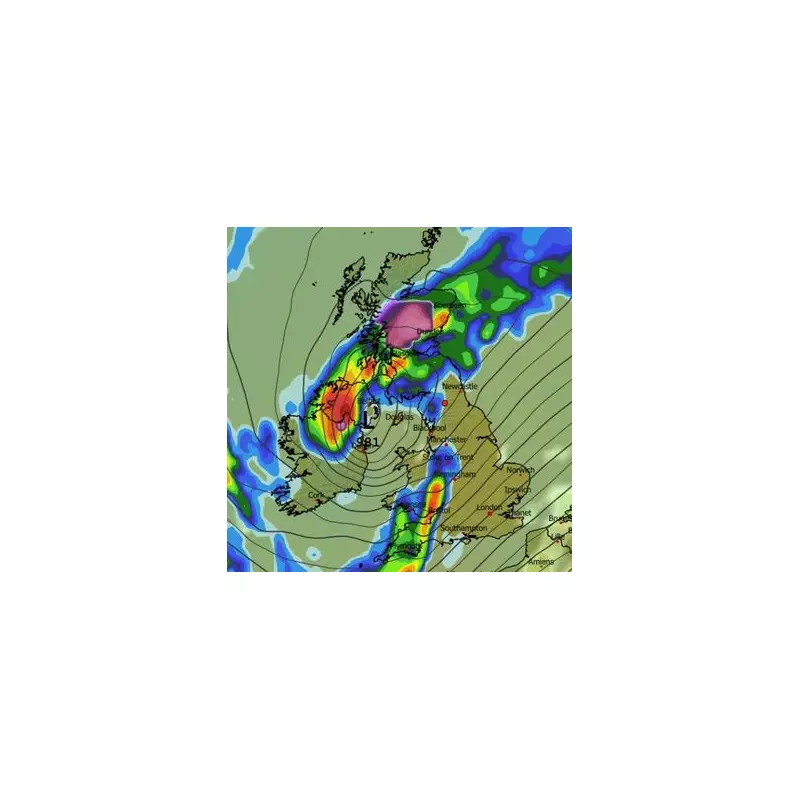
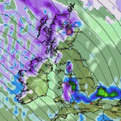
The initial weather system is set to strike in the early hours of Wednesday, December 3, first impacting Northern Ireland and Scotland. According to meteorological data, central and northern Scotland should brace for heavy snow, while Northern Ireland is more likely to experience intense rainfall.
The snowfall is predicted to push southwards as the day progresses, reaching the England border by midday. By 3pm on December 3, flurries accumulating at a rate of 1cm per hour are expected to hit the far north-east of England.
Second Front and Snowfall Hotspots
A second, follow-up weather front is then projected to arrive on Thursday, December 4, targeting Wales and central England. This system is anticipated to deliver a brief period of intense snow to North Wales, with other areas seeing heavy rain.
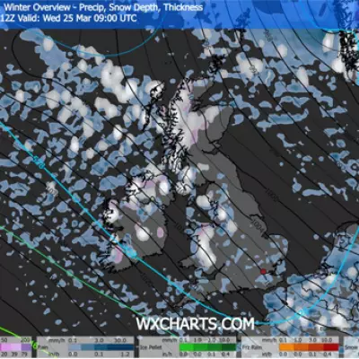
The most significant snow accumulations are forecast for the Cairngorms National Park in Scotland, where depths could reach the maximum of 17cm. Lighter accumulations of around 1cm are possible in parts of Northern Ireland, North Wales, and southern Scotland.
Official Forecast and Warnings
While the Met Office acknowledges the potential for snow, its official outlook suggests it will be largely confined to high ground in the north. Their forecast for this period describes the weather as "changeable and unsettled", dominated by low-pressure systems.
In addition to the snow risk, the Met Office has warned of periods of strong wind, particularly around coastal areas, due to deep low-pressure systems moving across the UK. Residents are advised to stay updated with the latest travel and weather alerts.


