
The Met Office has delivered a rather uninspiring weather verdict for much of Britain this week, with forecasters warning of persistent grey skies and what they term 'anticyclonic gloom'.
While many might hope for bright sunshine when high pressure dominates, meteorologists explain this particular setup is creating a blanket of cloud that's proving stubborn to shift across most regions.
What exactly is anticyclonic gloom?
This phenomenon occurs when high pressure traps moisture in the lower atmosphere, creating extensive cloud cover without necessarily bringing rain. The result is days of uniform grey skies that can feel particularly oppressive.

Met Office spokesman Stephen Dixon confirmed: "We have a spell of settled weather through this week, but it's not the sort of settled weather that will bring widespread blue skies and sunshine."
Regional variations across the UK
Northern England and Scotland: These areas might fare slightly better with some brighter intervals, particularly in the northwest where cloud cover could be thinner.
Southern and Eastern England: Brace for the most persistent gloom with the thickest cloud expected to blanket these regions throughout much of the week.
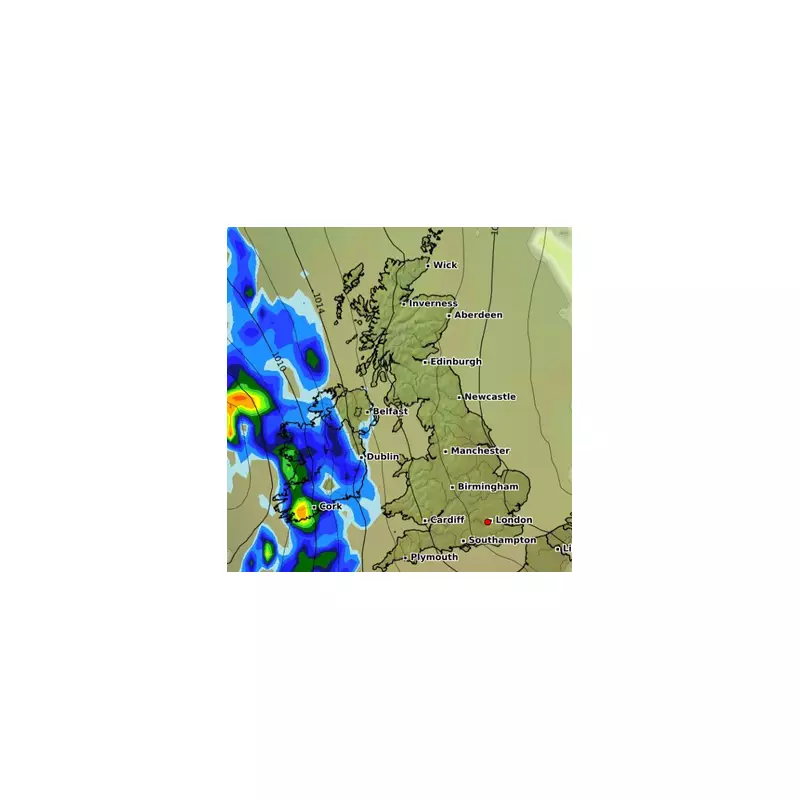
Western Scotland: Could see some drizzle at times, though amounts are expected to be minimal.
When can we expect improvement?
Forecasters suggest we might need to wait until later in the week for any significant change. There are indications that the high pressure system might shift position by Friday, potentially allowing for brighter conditions to develop from the west.
Until then, the Met Office advises making the most of any brief bright intervals that manage to break through the extensive cloud cover.


