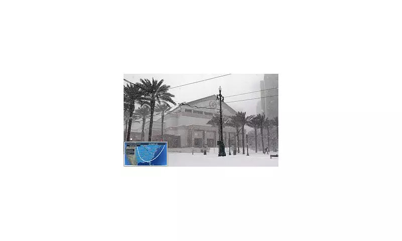
Early Arctic Outbreak Grips Eastern United States
More than 100 million Americans are preparing for an unseasonal cold snap this weekend as an arctic outbreak descends upon the Midwest and Eastern United States. The dramatic temperature plunge will make conditions feel more like December than November, according to meteorologists at AccuWeather.
Significant Temperature Drops Expected
The heart of America will experience the most significant cold spell since spring beginning Sunday, with areas including Nashville, Memphis, and St Louis facing staggering temperature drops of 20 to 30 degrees Fahrenheit. Other regions such as Lexington, Kentucky and New Orleans, Louisiana will see decreases between 10 and 20 degrees.
Atlanta, Georgia is forecast to reach only the mid-40s on Monday, representing temperatures approximately 20 degrees cooler than normal for this time of year. Virtually everywhere east of the Dakotas will experience conditions 10 to 15 degrees below average.
First Snowfall Threatens Thanksgiving Travel
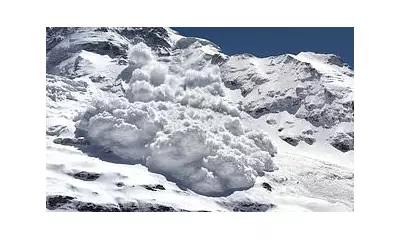
The timing of this cold outbreak raises concerns for holiday travel, with some areas facing their first snowfall just weeks ahead of the Thanksgiving holiday. The Midwest and interior Northeast face the highest risk of transforming into a winter wonderland between today and Tuesday.
Detroit residents will see the greatest chance of snow this week, while areas near Toronto and Montreal could accumulate up to a foot of snow. The Great Lakes region faces additional snowfall as cold air passes over warmer waters.
Areas southeast of Lakes Ontario, Erie, and Hudson may receive between three and six inches of snow due to lake-effect conditions.
Dangerous Travel Conditions Predicted
AccuWeather vice president of forecast operations Dan DePodwin warned of potentially hazardous conditions developing on Monday. "Along with the bands of lake-effect snow is the potential for briefly heavy snow squalls in portions of Ohio, Pennsylvania, western and central New York and northern West Virginia," he stated.
While most snow will melt quickly on road surfaces, DePodwin emphasised that "the sudden drop in visibility and temporary slush can create dangerous conditions on the highways."
Weather Pattern Behind the Cold Snap
This early winter blast originates from a shift in the jet stream known as an Alberta clipper, which is pushing cold air from Canada through the Dakotas toward the East Coast. Much colder air will plunge southward across the Great Plains and Mississippi Valley before moving eastward early next week.
Meteorologists advise residents across affected regions to prepare for winter conditions and exercise caution when travelling during this unexpected cold spell.