More than 155 million Americans are facing severe weather warnings as an unprecedented Arctic blast sweeps across the United States, bringing the first significant snowfall of the season and the coldest autumn temperatures recorded so far.
Widespread Snowfall and Record Cold
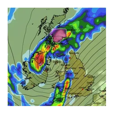
The freezing conditions are currently affecting regions from the Midwest to the Northeast, with snow already falling from Michigan's Upper Peninsula to the Smoky Mountains. The icy air is penetrating deep into southern and eastern areas, creating dangerous conditions for millions.
Heavy lake-effect snow is accumulating across parts of the Midwest and Great Lakes, while snow flurries extend into the Appalachians, upstate New York, and northern New England. These conditions are expected to persist through Tuesday.
One particularly intense snowband delivered an astonishing 12 inches of snow in just six hours over Momence, Illinois, located approximately 50 miles south of Chicago. Meanwhile, areas south of Marquette, Michigan received up to 18 inches of snow, while Michigan's Leelanau Peninsula recorded up to 10 inches.
Record-Breaking Temperature Drops
Temperatures are plunging to unprecedented levels for early November. Highs will remain stuck in the 30s across the southern Appalachians and in the 40s from the Northeast's I-95 corridor down through Alabama, Georgia and Mississippi.
Several cities are poised to break daily cold records, including Huntsville, Alabama at 43°F and Macon, Georgia at 49°F. Even typically warm regions are experiencing unusual chill, with Charleston struggling to reach 50°F - about 20 degrees below average - while parts of Florida will barely reach the 60s.
Jonathan Porter, AccuWeather Chief Meteorologist, stated: 'This storm pattern will introduce some of the coldest air seen for early November, and that is the reason for the robust snow amounts expected in the Great Lakes and the far southern extent of the flurries into the southern Appalachians.'
Continuing Impacts and Extended Forecast
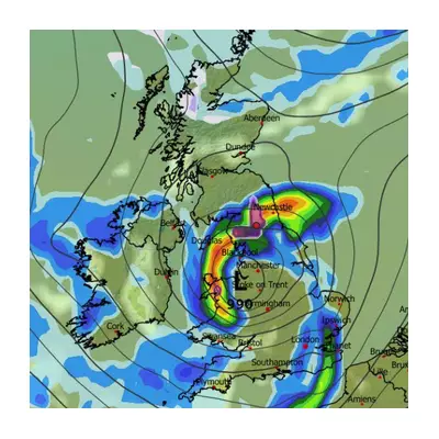
While the Chicagoland lake-effect snow should diminish by midday, heavier snow in the Lake Superior and Michigan snowbelts will continue until late tonight. Snow will shift southward through the Ohio Valley and Appalachians overnight.
In the eastern Great Lakes, lake-effect bands could continue through Tuesday before potentially turning into brief lake rainbands on Wednesday. Northern New England may see rain change to snow Monday night, with wrap-around snow lingering into Tuesday in some areas.
The heaviest additional accumulations could occur in the lake snowbelts from northwest Pennsylvania and southwest New York, south of Buffalo, up to New York's Tug Hill Plateau, the Green Mountains of northern Vermont and the Appalachians of West Virginia, where over six inches of snow is possible.
Morning lows could plunge into the 20s as far south as the Florida and Alabama Gulf Coast, with some 30s in northern and central Florida by Tuesday, bringing a widespread freeze across the Deep South.
The Weather Channel warned: 'This could be the coldest early November outbreak in Florida and other parts of the Southeast in 32 years, since a November 1993 outbreak produced a freeze in Gainesville, Florida, and plunged Birmingham, Alabama, to a frigid 24 degrees.'