
The Met Office has urged drivers to pack an emergency kit containing nine essential items as amber warnings for snow and ice come into force across Britain. Significant snowfall is expected, with up to eight inches (20cm) forecast in the North York Moors and parts of the Yorkshire Wolds, where an amber warning begins this evening. Yellow warnings for snow and ice are in place for northeast England, northern Scotland, much of coastal Wales, and parts of Kent and Cornwall.
A rare phenomenon known as 'thundersnow' has also been forecast, where heavy rain falls as snow combined with thunderstorm conditions, creating brighter-than-usual lightning. This occurs when the atmosphere is turbulent enough to form cumulonimbus clouds, with around ten instances globally each year.
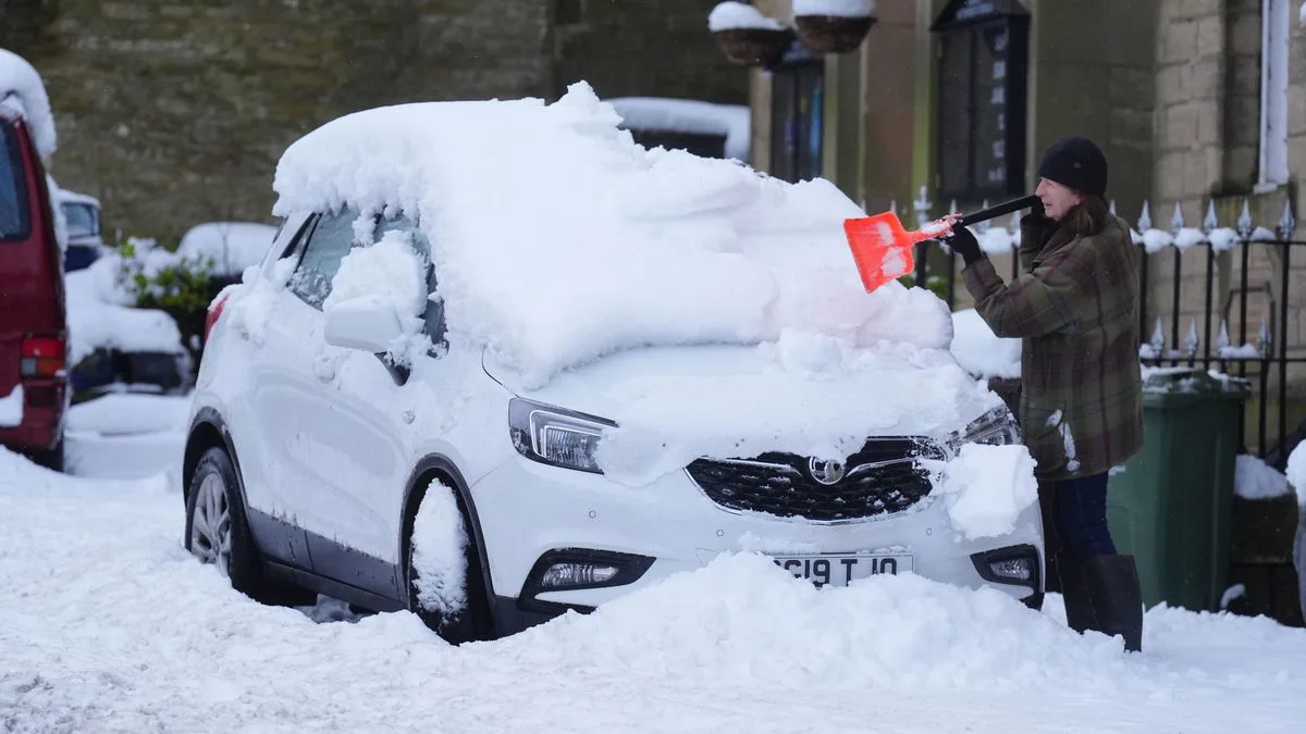
The nine essential items recommended by the Met Office for an emergency car kit include an ice scraper, a torch, a blanket, warm clothing, a first aid kit, a shovel, a map, a mobile phone charger, and food and drink. These items are intended to help drivers if they become stranded or break down in cold and snowy conditions.

Temperatures dropped to -6°C last night as cold Arctic air brought an early taste of winter. Snow has already fallen in some areas, including Scarborough, where the beach turned white, and road accidents have been reported in North Yorkshire. Met Office Chief Forecaster Neil Armstrong warned that wintry showers will affect areas exposed to brisk northerly winds, with accumulations of 2-5cm possible in many places, and up to 15-25cm on higher ground.
Even areas that avoid snow will face hazardous ice, with daytime temperatures in low single figures for many. Overnight ice is expected to create particularly tricky travel conditions. Drivers are advised to check weather updates and plan journeys carefully.


