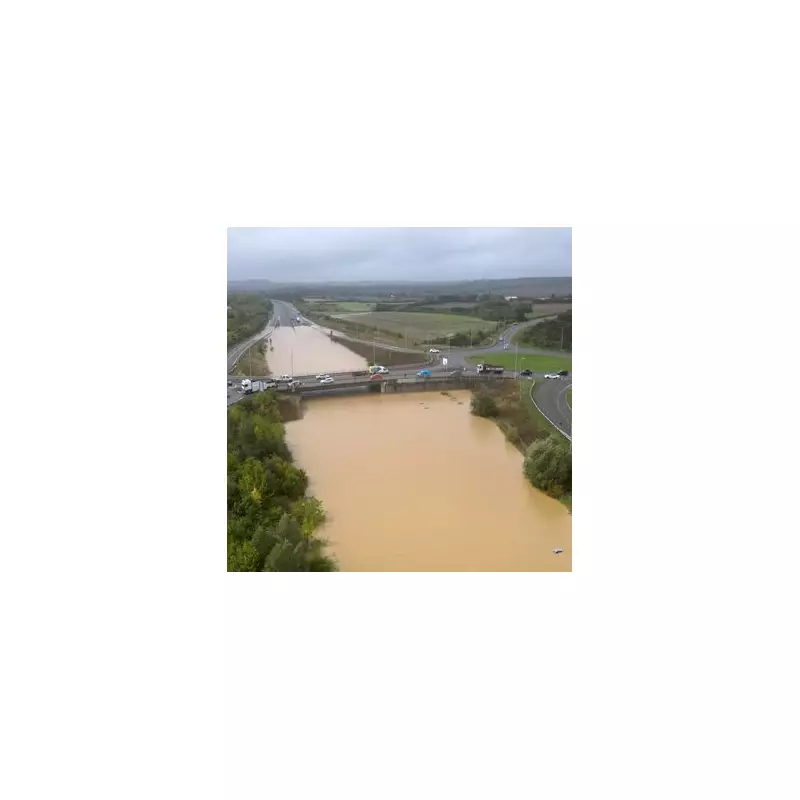
The Met Office has thrust the UK into a state of heightened alert, issuing a severe weather warning as a powerful deluge of rain and fierce winds are set to batter the nation. With nearly 80 flood warnings already activated, communities are bracing for potential chaos.
The Environment Agency has issued 76 flood warnings, meaning flooding is expected, alongside a further 207 flood alerts across England. Natural Resources Wales has also activated several warnings, indicating a widespread weather event targeting the UK.
Travel Chaos and Power Cuts Expected
Commuters are being urged to prepare for significant disruption. The intense rainfall threatens to overwhelm drainage systems, leading to perilous driving conditions and likely road closures. The powerful gusts, predicted to reach up to 70mph in exposed coastal areas, increase the risk of fallen trees and potential power cuts.
Met Office Deputy Chief Meteorologist Mark Sidaway emphasised the severity of the incoming system: “Low pressure is dominating the UK’s weather this week, with a number of weather fronts bringing periods of heavy rain and strong winds.”
Regional Impact and Weather Breakdown
The weather will unfold in two potent waves:
- Tuesday: The initial band of heavy rain and strong winds will push eastwards across all parts, with the heaviest downpours expected in southwest England and Wales.
- Wednesday & Thursday: A second, more vigorous system arrives, bringing the highest risk of severe gales and persistent, heavy rainfall that could cause significant flooding.
The Environment Agency has advised the public to steer clear of swollen rivers and coastal promenades and to never attempt to drive through floodwater. Residents in at-risk areas should have a flood plan ready and check the latest updates regularly.


