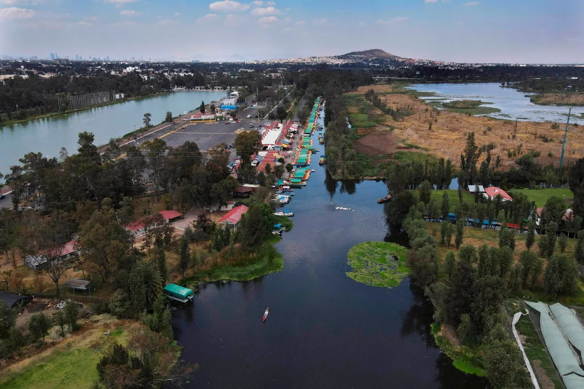
Mexico City is sinking by nearly 25 centimetres (10 inches) annually, according to new satellite imagery from NASA, making it one of the world's most rapidly subsiding major cities. The sprawling urban centre, home to approximately 22 million people, was originally built on an ancient lake bed, a foundation that has caused it to sink for over a century.
The relentless pumping of groundwater and extensive urban development have severely depleted the underlying aquifer, causing the ground to drop. In some areas, such as near the main airport and the Angel of Independence monument, the subsidence rate averages 2 centimetres (0.78 inches) per month. Over the past century, the total drop has exceeded 12 metres (39 feet), according to Enrique Cabral, a geophysics researcher at the National Autonomous University of Mexico.
“We have one of the fastest velocities of land subsidence in the whole world,” Cabral said. He noted that the sinking damages critical infrastructure, including the subway, drainage and water systems, housing and streets. The shrinking aquifer also exacerbates a persistent water crisis that experts expect to intensify.

The NASA estimates are based on measurements taken between October 2025 and January 2026 by the NISAR satellite, a joint initiative between NASA and the Indian Space Research Organization. NISAR scientist Paul Rosen said the satellite captures real-time changes on the Earth’s surface, “telling us something about what’s actually happening below the surface.”
Researchers hope to eventually zoom in on specific areas and obtain measurements on a building-by-building basis. The technology could also be applied globally to track natural disasters, fault line changes and climate effects. For Mexico City, the data represents a major advance in studying subsidence and planning mitigation. “To do long-term mitigation of the situation, the first step is to just understand,” Cabral said.