
Despite a recent rise in temperatures across the UK, weather maps indicate that two blizzards could sweep through England, Wales, Scotland, and Northern Ireland before the end of March. The GFS weather model shows the first system arriving on March 13, bringing heavy snow to Northern Ireland and Scotland, with rain hitting Wales and England. By midday, snow is expected in North Wales and northern England, while London faces torrential rain.
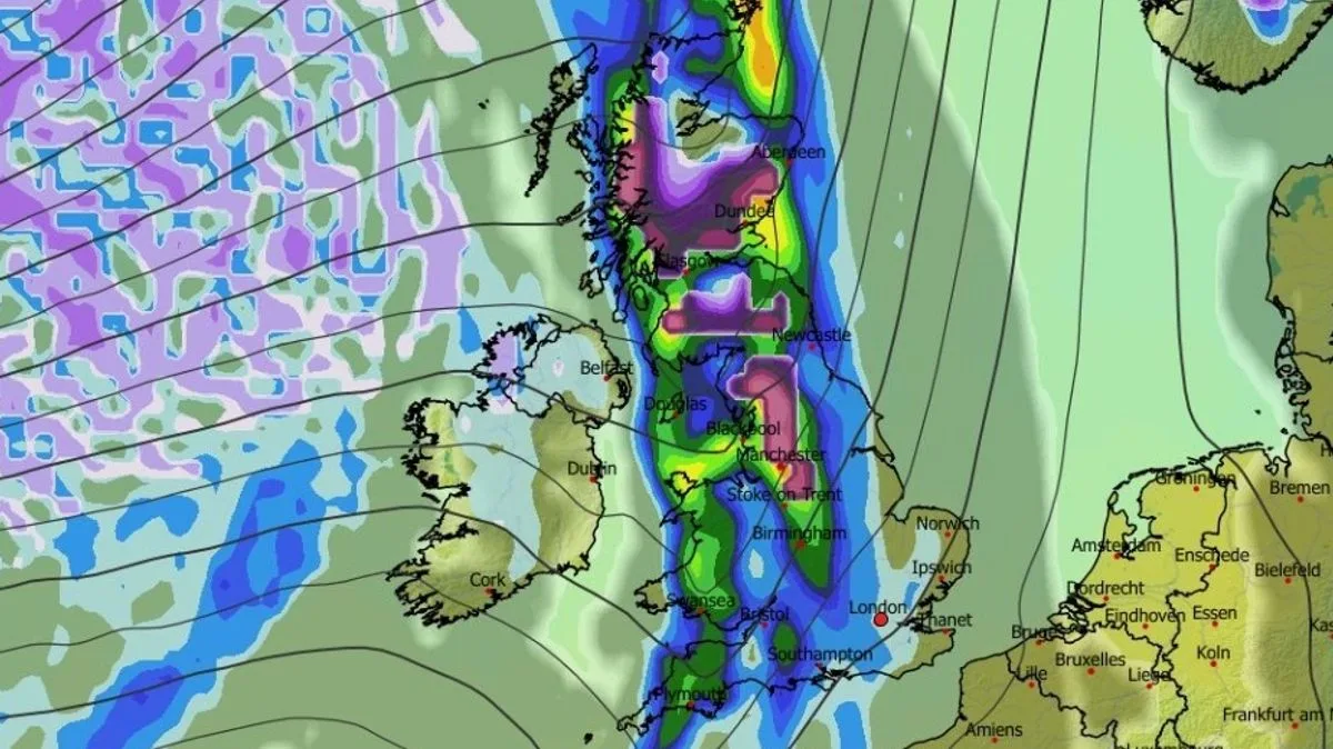
On March 14, snow coverage maps show settled snow around Gloucester, north-west England, most of Northern Ireland including Belfast, and large parts of Scotland including Glasgow. A second, wider storm is forecast for March 15, with snow falling over Scotland, northern England, and Wales by 9am, reaching the Midlands by midday. By 6pm, cities such as Stoke-on-Trent, Manchester, Edinburgh, Dundee, and Aberdeen could see snow on the ground.
The BBC Weather forecast for March 9 to 15 indicates above-average temperatures overall, but with one or two chilly interludes. Atlantic systems are expected to bring occasional rain and brisk winds, particularly to northern and western areas. The Met Office outlook for March 9 to 18 suggests unsettled conditions becoming more widespread, with all parts seeing a higher chance of rain and stronger winds, but temperatures remaining slightly above average.


