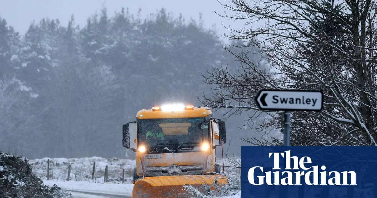
Britain is set for a wintry start to the new year, with fresh forecasts predicting significant snowfall across England in the first week of January 2026. According to the latest data from WXCharts, up to eight inches of snow could settle in some regions, with six major cities directly in the firing line.
Which Cities Are Set for Snow?
The detailed meteorological models highlight a band of disruptive weather moving across the country between January 1 and January 7. While New Year's Day evening is expected to remain clear, patches of snow will begin to spread from the east shortly after.
The initial flurries are forecast to affect north Wales before moving into Gloucestershire and the West Midlands. By 6am on Friday, January 2, the snow is predicted to reach southern England, impacting areas including Greater London, Surrey, Berkshire, Hampshire, Bristol, and Swindon.
The six English cities specifically named in the forecast are:
- Gloucester
- Stoke
- London
- Norwich
- Newcastle
- Sunderland
- Bristol
Teesside Braces for Deepest Snowfall
The region around Teesside is expected to bear the brunt of the wintry conditions. Forecasts indicate a persistent build-up, with up to eight inches of snow potentially settling by the morning of Wednesday, January 7. This accumulation is predicted to then spread north towards Newcastle, with snow expected to fall for much of that day.
While snow patches elsewhere may dwindle in size over the preceding days, flakes are likely to continue falling intermittently, creating potentially hazardous travel conditions.
Met Office Outlook Confirms Wintry Blast
The national forecaster's outlook appears to align with the WXCharts projections. The Met Office forecast for the period up to January 4 states: "The outlook is for snow early on Friday in the south and west. Wintry showers affecting areas exposed to the northerly winds. Otherwise often sunny. Cold, and windy at first. Overnight frost and ice."
Looking further ahead into the second week of January, from Monday 5 to Wednesday 14, the Met Office warns that cold northerly winds will dominate. These are expected to bring wintry showers, often of snow, to many coastlines and inland areas exposed to onshore winds, particularly in the north-west.
The forecast adds a note of caution, indicating that bands of precipitation will later attempt to move in from the west, with a risk of further snow turning to rain. However, confidence in the return to milder Atlantic weather remains low, with a continued risk of Arctic airflows resuming wintry showers, especially across northern UK.
Residents in the affected areas are advised to monitor official forecasts and travel updates closely as the new year begins, with the cold snap poised to bring the first major snowfall of 2026 to large parts of England.