
The UK is set to be hit by three blizzards over four days, with advanced weather modelling maps indicating up to 20 inches (52cm) of snow could fall in parts of Scotland. The GFS weather model shows almost all of England, Wales, Scotland and Northern Ireland could face flurries, with snow expected to start falling on February 11.
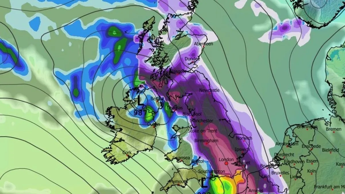
At 3pm on February 11, snow is forecast in Wales, northern England and Scotland, including cities such as Manchester and Glasgow. Flurries are then expected to spread across the country. Heavy snow could fall across southern parts of England at around 6am on February 12, with London and Bristol in the firing line, while more snow could fall over Scotland at the same time.
A second weather front is predicted to hit the UK on February 13, with Northern Ireland and Wales seeing the most intense snow initially at around 3am. Cities including London, Birmingham, Manchester, Liverpool, Cardiff and Glasgow could all see snow. The snow should move eastward, with the most intense flurries hitting the Midlands and south-east at around 9am.

A third blizzard could follow on February 14, sweeping across the UK and again hitting major cities including London at around 3pm. By 9pm on February 14, snow depth charts reveal 20 inches could settle in the Scottish Highlands, while parts of north-west England could see eight inches (21cm), central England five inches (13cm), Wales four inches (10cm), and Northern Ireland one inch (3cm). Only south-west England and some parts of Wales are expected to remain snow-free.
The Met Office's forecast for February 5 to 14 states that frontal systems over the Atlantic, steered by a south-shifted jet stream, are likely to approach the UK but stall due to high pressure to the north and northeast. This will bring rain and some snow on high ground in northern England and Scotland. A subtle shift southwards of low pressure during the second week of February may allow colder air to spread across northern UK, increasing the risk of wintry hazards.


