
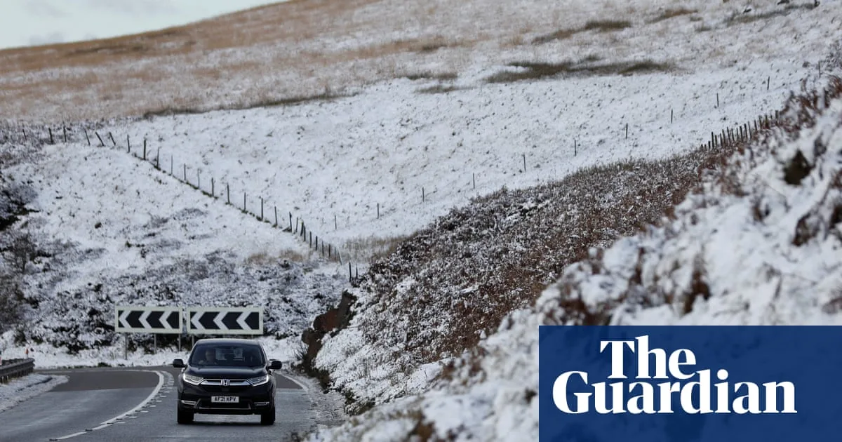
The Met Office has issued a yellow warning for snow and ice across parts of Scotland, effective from 6am on New Year's Day until midnight on 2 January. Forecasters predict frequent and heavy snow showers could cause travel disruption, with accumulations of 2-5cm widely, up to 10cm locally, and 10-20cm above 200 metres. On the highest routes, 30cm or more may build up.
An amber cold health alert has been issued by the UK Health Security Agency (UKHSA) for north-east and north-west England, remaining in place until noon on 5 January. Temperatures are expected to fall to 3-5C, with significant impacts on health and social care services, including a rise in deaths among vulnerable groups such as those aged 65 and over or with pre-existing conditions.
Yellow cold health alerts are also in place for the East Midlands, West Midlands, south-east, south-west, east of England, Yorkshire and the Humber, and London. The UKHSA warned of potential impacts on younger people, increased demand for health services, and challenges maintaining indoor temperatures at recommended levels.

Dr Agostinho Sousa, head of extreme events and health protection at UKHSA, urged people to check on vulnerable friends and family, as cold weather can increase the risk of heart attacks, strokes, and chest infections. The Alzheimer's Society highlighted that people with dementia may struggle to recognise or communicate feeling cold, advising regular checks on their wellbeing.


