
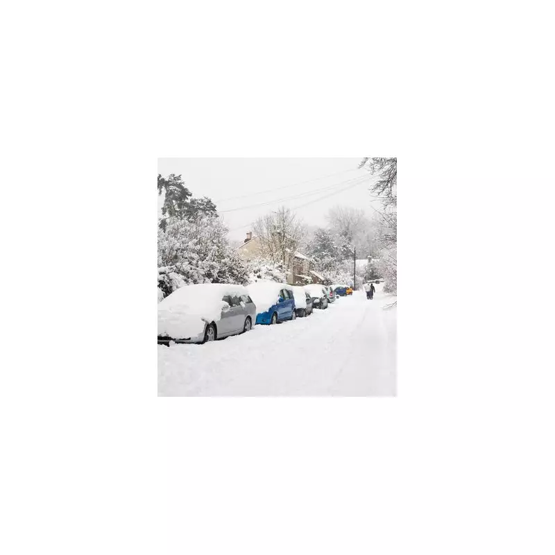
The Met Office has raised the alarm as Britain prepares for a dramatic weather transformation, with an Arctic freeze threatening to blanket parts of the country in snow and send temperatures plummeting to bone-chilling lows.
Winter's Icy Grip Returns
Forecasters are tracking a powerful cold front sweeping in from the north, potentially bringing the most significant snowfall of the season so far. The mercury could dive to a staggering -10°C in some rural areas, creating hazardous conditions for travellers and vulnerable residents.
Regions on High Alert
Northern Scotland appears first in the firing line, with yellow weather warnings already activated. However, meteorological models suggest the freezing conditions could push much further south than initially anticipated.

Areas most at risk include:
- Scottish Highlands and Grampian regions
- Northern England, particularly elevated areas
- Parts of Wales above 200 metres
- Potentially the Midlands by mid-week
Travel Chaos Looms
Transport networks are preparing for potential disruption as the white stuff begins to accumulate. Motorists are being urged to exercise extreme caution and consider postponing non-essential journeys in affected regions.
"We're looking at potentially tricky driving conditions, especially on higher routes and untreated secondary roads," warned a Met Office spokesperson.
Protecting Vulnerable Communities
Local authorities have activated cold weather protocols, with particular concern for elderly residents and homeless populations. Community warming centres are being prepared across multiple regions as the big freeze approaches.
The dramatic temperature swing comes after a period of relatively mild conditions, making the abrupt change potentially more dangerous for those unaccustomed to the cold.
When to Expect the Worst
Current projections indicate the peak of the cold spell will hit between Tuesday and Thursday, with overnight temperatures causing widespread ice formation on untreated surfaces.
Meteorologists are closely monitoring developing weather systems that could intensify the snowfall beyond current predictions. Residents in affected areas are advised to stay updated with the latest forecasts and warnings.


