
The UK is braced for a severe bout of wintry weather, with the Met Office issuing warnings for snow and ice that threaten significant disruption. Forecasters predict blizzard conditions will batter parts of the country, with up to 30cm (11 inches) of snow accumulating and wind chill making it feel as cold as -12C.
Timeline of the Snow and Ice Warnings
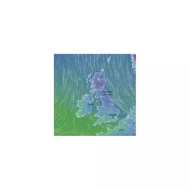
The Met Office has placed a weather warning for snow and ice in effect for both Thursday and Friday. The cold snap is being driven by a strong northerly wind that will send snow sweeping southwards throughout Friday and into Saturday. While air temperatures will range from 4C to -4C, the combination of wind and precipitation will make it feel significantly colder for everyone.
The initial focus will be on Scotland, with areas like Grampian, Strathclyde, Central, Tayside and Fife seeing snow fall from the early hours of Friday. By 6am, the band of snow will move into parts of the Midlands and Northwest England. Cheshire and Staffordshire are expected to see a significant dumping during Friday morning.

Widespread Disruption Expected by Midday Friday
By midday on Friday, heavy snowfall is forecast to be widespread across north Wales, Shropshire, Staffordshire, and Warwickshire. The low-pressure system will then push southeast, bringing travel disruption due to snow and ice to Essex and parts of Kent by early afternoon. The Home Counties, including Buckinghamshire, can expect a dusting by late afternoon.
Forecasters from Metdesk indicate that snow flurries will continue into the early hours of Saturday across south Wales. The Met Office warns that accumulations could reach 2 to 5cm, locally 10cm, at low levels by Friday morning. Above 200 metres, 10-20cm is likely, with the highest routes and hills potentially seeing 30cm or more. Strong winds will cause significant drifting of snow.
Dangerous Conditions and Travel Advice
The weather agency has highlighted the serious risks associated with this Arctic blast. There is "a chance of injuries from slips and falls on icy surfaces," and "untreated pavements and cycle paths might be impassable." The Met Office also cautions that lightning could be an additional hazard within the wintry showers.
In terms of wind, the fiercest gales on Friday morning will be along the east coast, particularly across Humberside and Cleveland. Saturday's winds are forecast to be even stronger, potentially reaching brutal speeds of 65mph in and around Scarborough and Bridlington.
The Met Office has issued clear advice for the public to stay safe:
- Plan your route, checking for delays and road closures.
- If driving, leave more time and check your car before setting off.
- Pack essentials in your car: warm clothing, food, water, a blanket, a torch, an ice scraper, a warning triangle, a high-visibility vest, and an in-car phone charger.
This severe weather event is expected to cause considerable travel disruption and possible power cuts as the nation heads into the first weekend of 2026.


