
The United Kingdom is preparing for a major winter onslaught, with advanced weather modelling predicting two significant blizzards that could blanket up to 90 per cent of the country in snow by the end of January.
First Storm Set to Strike on January 29
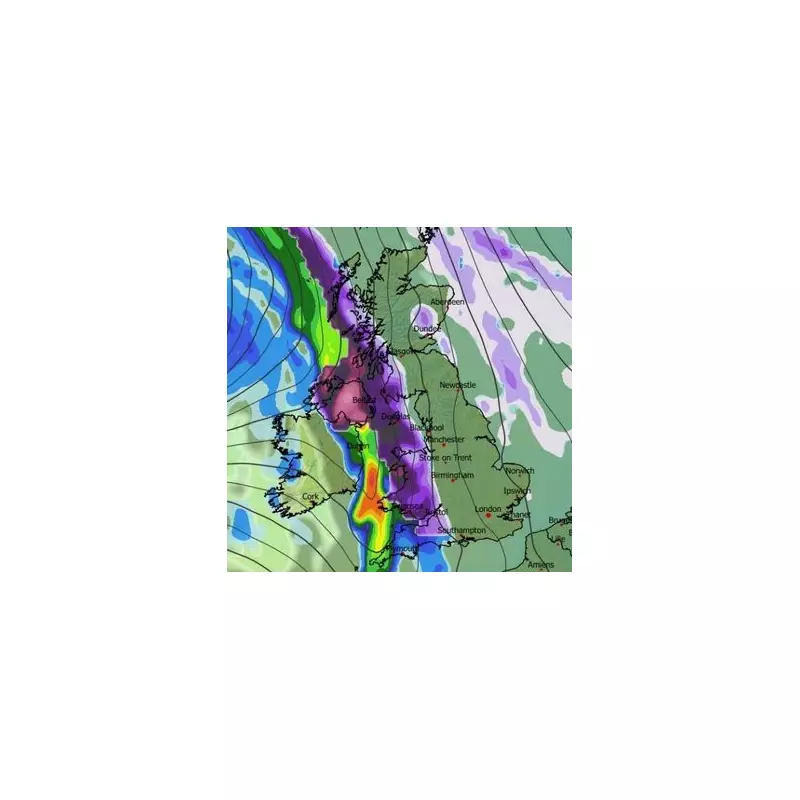
According to detailed snow maps from WX Charts, the first severe winter storm is scheduled to hit the UK on Thursday, January 29. The initial flurries are expected to impact Northern Ireland, Wales, the west coast of Scotland, and the south-west of England.
The system is then forecast to move eastwards throughout the day, with snow predicted to fall over northern England, the Midlands, and the south-east by 9am. Major population centres including London, Southampton, Birmingham, Manchester, and Liverpool could all face disruptive snowfall, with further activity continuing in parts of Northern Ireland and Scotland.

Second Blizzard Follows on January 30
The respite will be brief, as a second powerful blizzard is projected to arrive on Friday, January 30. The GFS weather model indicates intense snowfall will begin in the south-west, Wales, the north-west, and parts of Scotland around 9pm.
Mirroring the path of the first storm, this weather front is expected to push eastward in the early hours of Saturday, January 31. Regions including Yorkshire, the Midlands, and southern England could witness further significant snow accumulation around 6am.
Widespread Coverage and Snow Depth Predictions
Snow coverage maps illustrate the extensive impact of these twin weather events. By January 31, roughly 90 per cent of the UK is expected to be covered, with only the far south-west and isolated parts of Wales and Northern Ireland likely to escape.
Snow depth charts present a stark picture, particularly for northern regions:
- The Scottish Highlands could see accumulations of up to 48cm, approximately 19 inches.
- Northern and central England may receive around 12cm, or five inches.
- North Wales is forecast for 15cm (six inches).
- Parts of southern England could still see 7cm, or three inches.
Met Office Long-Range Forecast
The national weather service has also indicated a heightened risk of wintry weather towards the month's end. In its forecast for January 24 to February 2, the Met Office states the UK will remain in a battleground between Atlantic systems and high pressure to the north.
This setup is likely to bring further rain or showers, which may be heavy and persistent, especially in the south and west. While milder air may occasionally reach southern and western areas, the overall trend is for conditions to turn colder, increasing the risk of snow, particularly on hills in Scotland and northern England.
Looking further ahead into February, the Met Office warns that "wintry hazards" remain possible. Its outlook for February 3 to 17 suggests a continuation of the current pattern, with Atlantic fronts on a southerly track. This would keep the wettest conditions in central and southern areas, while colder air in the north and northeast brings the ongoing threat of snow as precipitation attempts to spread in.


