
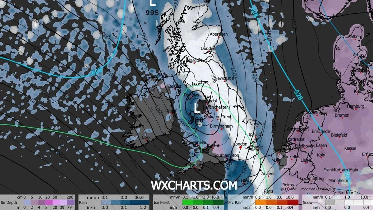
The 'Troll of Trondheim' snow storm, which battered the UK in 2022, is forecast to return this week, with a 540-mile wall of snow heading towards Britain. The phenomenon, caused by a polar vortex dislocation, is expected to bring heavy snowfall across northern Scotland and the North East of England, with accumulations of up to five inches.
According to Jim Dale, senior meteorologist at British Weather Services, the snow will spread southwards over the following days, potentially reaching as far as Dorset. 'It's caused by a dislocation of the polar vortex,' he explained. 'It isn't just ourselves facing this cold air, it'll also be much of northern Europe.'
The Met Office has issued a yellow weather warning for snow and ice in northern Scotland from New Year's Day, lasting until January 2. Deputy Chief Forecaster Mark Sidaway said: 'It certainly looks like we are in for a taste of winter as we welcome in the New Year, initially in the north, but more widely across the UK for the first week of 2026.'

Snow is expected to start falling on New Year's Eve in Scotland, with heavy accumulations predicted for the Highlands and Grampians. By January 4, snow is forecast for Norfolk and mid-Wales, and by January 7, maps show up to 33cm of snow in northern Scotland.
The 2022 'Troll of Trondheim' brought nearly five inches of snow to Scotland and temperatures as low as -7C, along with ice and freezing fog warnings. This year's event is expected to last up to five days, with widespread frosts and strong northerly winds making conditions feel even colder.


