
Advanced weather maps indicate that the UK could face nine consecutive days of blizzards, with snow expected to cover every inch of the country. According to the Global Forecast System (GFS) model, the wintry chaos is set to begin late on January 27, as a storm sweeps in from the Atlantic, bringing snow to Northern Ireland, Wales, and the south-west of England.
The snow is forecast to move eastward on January 28, affecting Scotland, the Midlands, and the south-east, including major cities such as Glasgow, Edinburgh, Birmingham, and London. On January 29, intense snow is expected in southern parts of England, with Plymouth, Bristol, Southampton, and London again likely to see significant accumulations.
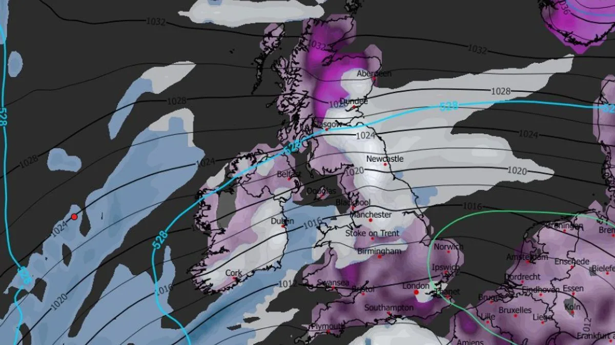
The north-east of England is predicted to face the heaviest snow on January 30, particularly around Newcastle, while Aberdeen and Dundee may also experience flurries. By January 31, a large swathe of England, including East Anglia, the Midlands, and southern regions, could be impacted, with London once again in the firing line.

Sporadic flurries are expected to continue across Northern Ireland, Wales, northern and central England, and Scotland on February 1 and 2. Heavy snow is forecast to return to northern England on February 3, with Newcastle facing the most intense conditions. Snow coverage maps for the morning of February 4 show every inch of the UK with some snow on the ground, while flurries persist in northern regions and Wales.
Snow depth charts suggest that up to 75cm (roughly 30 inches) could settle in the Scottish Highlands over the nine-day period. Parts of northern England could see 46cm (18 inches), with 16cm (around six inches) possible in Wales and the south-east. The Midlands and south-west may receive 7cm to 8cm. The Met Office has also indicated that snow is possible towards the end of January and the start of February, though it does not expect flurries to be as widespread as the GFS model suggests.


