
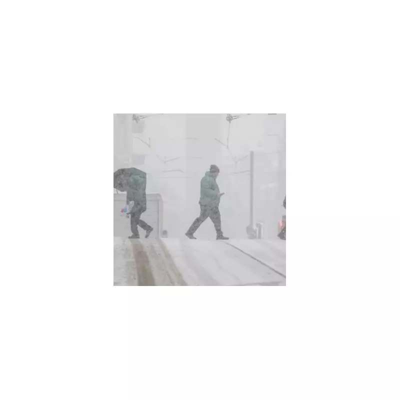
The United Kingdom is preparing for a significant wintry onslaught as the new year arrives, with forecasters predicting a widespread snowstorm that could deposit up to 14 centimetres (5.5 inches) in some regions. The disruptive weather is expected to peak around New Year's Day, creating hazardous travel conditions for much of the country.
Widespread Snow Blanket Predicted
Maps from WX Charts, which utilise data from Met Desk, indicate a vast band of snow stretching over 600 miles from Scotland down through England to the south east. The advanced GFS modelling system suggests daytime temperatures could plunge to a biting -5°C in places, a stark contrast to the milder conditions experienced in the run-up to Christmas.
The north of England is forecast to bear the brunt of the snowfall. Areas including Tyne and Wear, Northumberland, Durham, Cumbria, and all of Yorkshire are expected to see the deepest accumulations. The east of the country will also be heavily affected, with Norfolk and Suffolk in for substantial flurries.

The Lone Escape Zone
Amid the extensive warnings, only one broad part of the UK looks likely to avoid the main snowfall. The south west of England, encompassing Devon and Cornwall, along with the south west of Wales, are currently predicted to be spared the heaviest flurries. This means major cities and regions elsewhere will face disruptions.
The Midlands, including Birmingham, along with the south of England, the Home Counties, and Greater London, are all in line to receive a dusting of snow. Forecast snow depths are expected to vary significantly, ranging from a light 2cm to the more substantial 14cm in the hardest-hit northern areas.
Colder, Drier Shift After Christmas
The impending snowstorm follows a shift in the weather pattern after Christmas. Sarah Keith-Lucas, the BBC's Lead Weather Presenter, noted that Christmas Day itself is expected to be drier and colder than earlier in December. She explained that high pressure is likely to build from the north-east in the days following the holiday.
"Under the influence of high pressure, we are likely to see a decrease in wet and windy weather in favour of slightly colder, more settled conditions," she stated. Looking further ahead towards the new year, she added that temperatures are likely to be around average or a few degrees below, with an increased risk of overnight frost and fog becoming a hazard.
The combination of these settled but cold conditions sets the stage for the potential New Year's Day snow event, prompting authorities and the public to prepare for possible travel delays and icy conditions as 2026 begins.


