
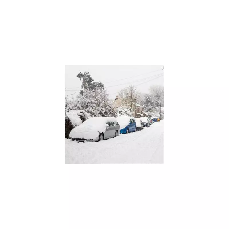
The Met Office has issued a fresh warning that snow, sleet, and significantly colder conditions are poised to make a dramatic return to the UK in the final week of January, with the threat lingering into the start of February.
Arctic Blast Set to Clash with Atlantic Systems
Forecasters predict that a powerful high-pressure arctic blast will sweep in from the East from Friday, January 23. This frigid air mass is expected to collide with milder, moisture-laden weather systems arriving from the Atlantic. The resulting meteorological battle will dominate the UK's weather pattern through to Sunday, February 1.
While the Atlantic influence is likely to bring widespread heavy rain for many, the interaction with the cold eastern air creates a prime scenario for snowfall, particularly in certain regions.

Regions on High Alert for Snowfall
The far northeast of England has been identified as the area most likely to bear the brunt of the wintry hazards. The Met Office specifically highlights that this includes urban centres and surrounding areas such as:
- Newcastle-upon-Tyne
- Durham
- Sunderland
- Areas along the Scottish borders
The weather service stated that temperatures here will be colder than average, with precipitation likely to fall as sleet or snow during this period.
Uncertainty and Extended Forecast into February
The Met Office's extended outlook suggests a potential transition to more widely colder and drier conditions across the country as January ends, though this aspect remains uncertain. Such a shift would increase the chance of snow spreading to other parts of the UK.
Looking ahead to the beginning of February, the forecast indicates a continued risk of wintry hazards for the northeast. The opening fortnight of February is expected to be widely unsettled, with a weather pattern likely featuring low pressure to the west and high pressure to the northeast.
This setup, the Met Office warns, brings an increased chance of cold conditions and associated snow risks for the UK. Later in February, conditions may become more broadly unsettled again, with temperatures recovering closer to the seasonal average.


