A significant and disruptive winter storm is poised to strike the US Midwest and Great Lakes region this weekend, creating hazardous conditions for millions of Americans returning home after the Thanksgiving holiday.
Widespread Warnings and Forecast Details
Meteorologists have issued Winter Storm Watches across a vast area, including Illinois, Wisconsin, Iowa, Missouri, Indiana, Michigan, Nebraska, South Dakota, and Minnesota. This severe weather system is expected to impact approximately 50 million people.
The storm is forecast to bring heavy snowfall, with many areas, particularly north of Interstate 70 and along Interstate 90, likely to see accumulations of 6 to 12 inches or more. The most intense snow is anticipated over central and northern Illinois, eastern Iowa, southern and eastern Wisconsin, and lower Michigan, where some locations could receive over 8 to 10 inches.
Severe Travel Disruption Expected
The National Weather Service (NWS) has issued stark warnings, stating that travel could become very difficult to nearly impossible, especially on Saturday. Roads, bridges, and overpasses are expected to become slick and treacherous.
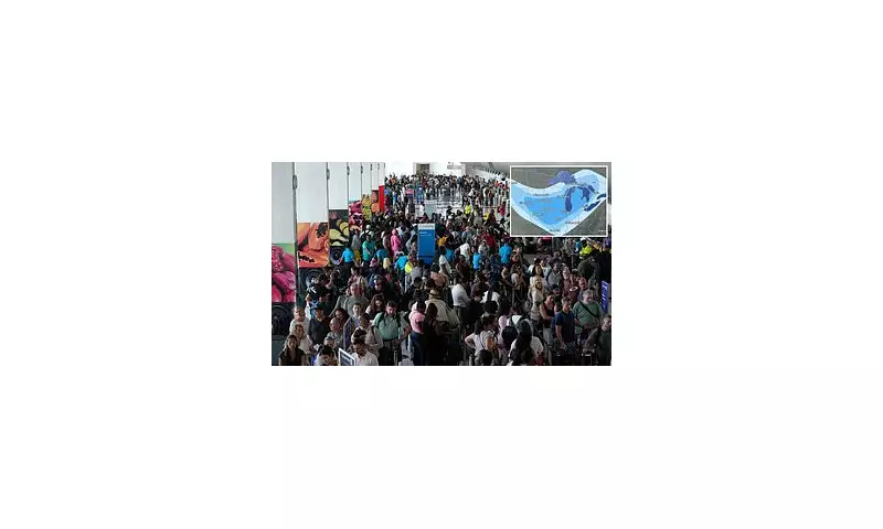
Major airports are already preparing for significant delays. Airports in Chicago, Milwaukee, and Grand Rapids have begun issuing ground-delay and de-icing alerts from Thursday night into Friday. Airlines are proactively cancelling or delaying flights as crews pre-position equipment to handle the severe conditions.
The timing is particularly problematic as it coincides with the peak of post-Thanksgiving travel, guaranteeing substantial disruption for millions. The NWS strongly recommends delaying travel if possible. For those who must journey, officials advise keeping an emergency kit in vehicles and allowing considerable extra time.
Regional Impacts and Additional Hazards
The storm system will move from west to east, beginning in the Plains on Friday afternoon and reaching the Great Lakes by Saturday. Beyond heavy snow, other dangers include:
- A wintry mix or light icing in southern Iowa, northern Missouri, and northeast Nebraska, further complicating driving.
- Winds gusting between 25 to 40 mph, which will produce blowing snow and severely reduced visibility.
- In Michigan, lake-effect snow will add to totals along the Lake Michigan shoreline, with Ottawa and Muskegon counties potentially seeing 8 to 11 inches.
Forecasters caution that details, especially the rain/snow line in southern sections, could still shift in the next 24-36 hours. Residents and travellers are urged to stay updated with the latest warnings, as this storm has the potential to be one of the most significant early-season events in the Midwest in recent years.


