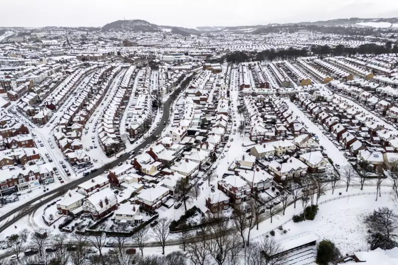
The Met Office has issued a stark warning for parts of England this week, forecasting a mix of disruptive snow, heavy rain, and strong winds. The severe conditions are expected as an Atlantic low-pressure system collides with an Arctic airmass over the country.
Forecast Details and Potential Scenarios
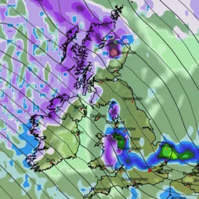
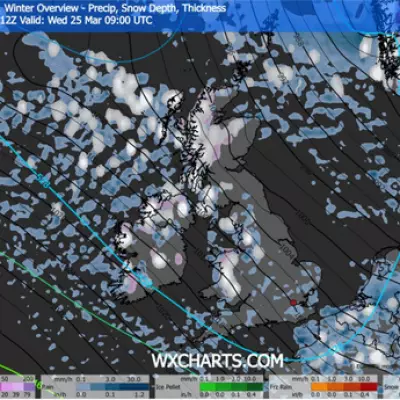
Forecasters indicate that even southern regions of England could see snowfall on higher ground on Thursday and Friday. Northern and central areas face a greater threat of significant snow, alongside rain and wind, with the exact impact depending on the path of the approaching weather front.
In a video update, Met Office forecaster Aidan McGivern outlined two key possibilities. There is a 30% chance the system tracks over northern France, which would bring disruptive snow to southern English counties, particularly on higher ground. Alternatively, a 20% chance exists of a more northerly route, leading to widespread disruptive wind and rain across much of England and Wales, with further snow likely in northern England, southern Scotland, and Northern Ireland.
The most probable outcome, however, is wind and rain for southern UK areas, with central England at risk of disruption from snow.
Active Warnings and Immediate Impacts
The weather is already causing significant disruption. On Tuesday, rain turning to snow is predicted for Scotland and northern England, with accumulations of 1–5 cm likely in northern England and up to 10–15 cm in central and eastern Scotland.
The Met Office has issued several warnings:
- Two amber snow warnings for northern parts of Scotland until Tuesday evening.
- Yellow snow and ice warnings across southwest England, northern England, eastern England, and Wales.
- A yellow ice warning for Northern Ireland.
An amber warning indicates a high risk of severe weather causing travel disruption, power cuts, and potential danger to life and property. A yellow warning suggests some disruption is possible.
Overnight into Tuesday, temperatures are set to fall below freezing widely, potentially dropping to a frigid minus 12C over lying snow. This follows a Monday where temperatures plunged to minus 10.9C in Shap, Cumbria, and 52cm of snow was recorded in Tomintoul, Banffshire.
Widespread Disruption and Support Measures
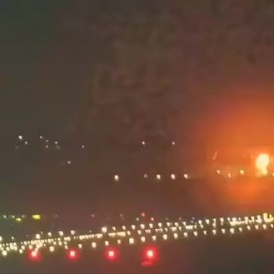
The severe conditions have led to hundreds of school closures, cancelled flights, and disrupted train services across the UK. National Rail confirmed train services in northern Scotland will be affected until Tuesday evening. Liverpool John Lennon Airport temporarily closed its runway on Monday, causing delays and cancellations.
In response to the freezing temperatures, the UK Government has triggered cold weather payments. These £25 payments are being made to vulnerable people, including pensioners, in 451 postcode areas across England, Wales, and Northern Ireland for the freezing days of December 30, January 1, 2, and 3.
Concurrently, the UK Health Security Agency (UKHSA) has issued amber cold health alerts for England, valid until Friday. This serves as an early warning that the adverse conditions are likely to impact health and wellbeing.
Charities are urging the public to check on vulnerable neighbours. The Alzheimer’s Society highlighted the risks for people with dementia during cold snaps. Angelo Makri from the society advised ensuring they stay warm, maintain routines, and take care on icy surfaces, offering crucial peace of mind to carers.


