
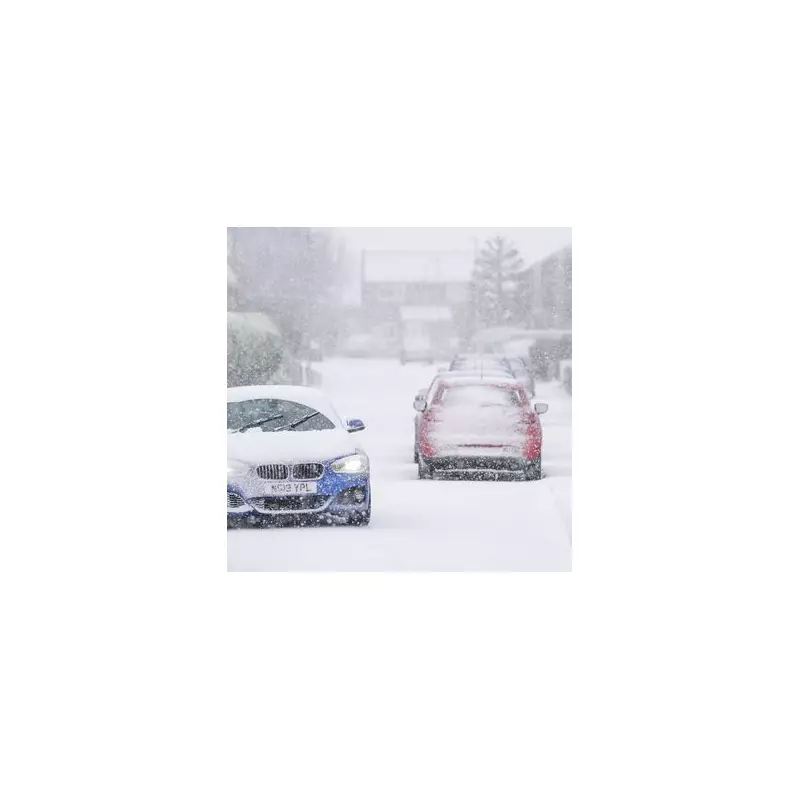
Millions across the United Kingdom are preparing for a treacherous start to the new year as a bitter Arctic air mass sweeps in, threatening to blanket parts of the country with up to 30 centimetres of snow and widespread icy hazards. The Met Office has responded by issuing a swathe of weather warnings covering 57 specific local authority areas, with disruptions to travel, school closures, and potential power cuts anticipated.
Widespread Warnings and Forecast Details
The cold snap, which will see temperatures plunge well below freezing, is forecast to persist through the first full working week of 2026. A barrage of snow, sleet, and blizzard conditions is expected as the frigid air establishes itself. Met Office meteorologist Matthew Lehnert highlighted the severity, stating that in northern Scotland, "some locations within the Amber warning areas [could see] a further 20-30 cm accumulate by Monday morning."
Amber and yellow warnings for snow and ice are in force from 12am on Monday until 11am on Tuesday, affecting vast swathes of Scotland, England, Wales, and Northern Ireland. While the north braces for the heaviest snow, milder air will attempt to push eastwards from Tuesday, potentially turning precipitation to rain in the south but also raising the risk of more organised snowfall along the boundary between the air masses.

Disruption and Bitter Temperatures Expected
The combination of heavy snow, ice, and strong winds is likely to trigger a cascade of travel delays and cancellations nationwide. Rural communities are being warned of the increased likelihood of power cuts. Temperatures are set to drop sharply, with Manchester and surrounding areas waking to a bitter -4°C on Monday morning, while central and eastern Scotland could see lows of -1°C.
On Tuesday, the deep chill persists, with Mancunians facing another morning of -3°C and much of Wales, the South West, and South East hovering around -2°C. The Met Office predicts widespread accumulations of 5-10cm of snow across many regions, escalating to the significant 30cm depth in parts of mainland Scotland.
Full List of Areas Under Weather Warnings
The following regions are under Met Office amber and yellow snow or snow and ice warnings:
Scotland (Amber and Yellow): Angus, Aberdeen, Aberdeenshire, Moray, Highlands, Orkney Islands, Shetland Islands.
Northern Ireland (Yellow): County Antrim, Armagh, Down, Fermanagh, Londonderry, Tyrone.
Wales (Yellow): Blaenau Gwent, Bridgend, Caerphilly, Cardiff, Carmarthenshire, Ceredigion, Conwy, Denbighshire, Flintshire, Gwynedd, Merthyr Tydfil, Monmouthshire, Neath Port Talbot, Newport, Pembrokeshire, Powys, Rhondda Cynon Taf, Swansea, Torfaen, Vale of Glamorgan, Wrexham.
England (Yellow):
- East Midlands: Derbyshire.
- North West: Blackburn with Darwen, Blackpool, Cheshire East, Cheshire West and Chester, Greater Manchester, Halton, Lancashire, Merseyside, Warrington.
- South West: Cornwall, Devon, North Somerset, Plymouth, Somerset, Torbay.
- West Midlands: Herefordshire, Shropshire, Staffordshire, Stoke-on-Trent, Telford and Wrekin, West Midlands Conurbation, Worcestershire.
Residents in all affected areas are urged to stay updated on the latest forecasts, plan for significant travel disruption, and check on vulnerable neighbours as the Arctic blast tightens its grip on the nation.


