
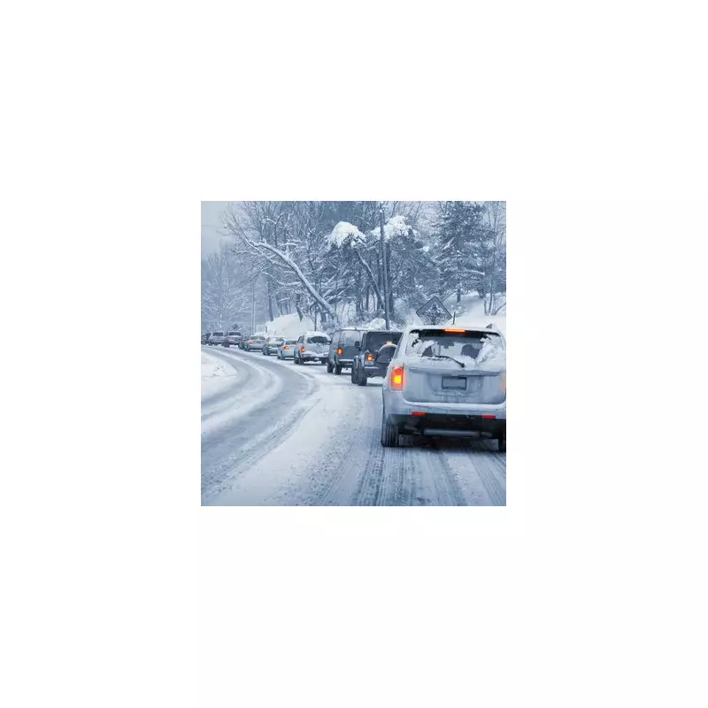
Britain is set to be battered by a colossal 330-mile wall of snow this week, as forecasters predict a dramatic plunge into wintry conditions. New weather maps indicate significant snowfall across vast swathes of the country, with some areas bracing for up to five inches of accumulation.
A Widespread Winter Onslaught
According to data from WXCharts, which utilises Met Desk information, the extensive band of snow is expected to sweep across the nation within days. The icy conditions are forecast to begin on Friday, December 5, with temperatures dropping below zero across much of the UK.
The snowfall is predicted to start around Aberystwyth in Wales at approximately 3pm. From there, the 330-mile stretch of snow is projected to spread northwards, reaching Aviemore in Scotland by around 6pm the same day. Northern Wales could see the heaviest accumulations, with as much as five inches of snow expected, while parts of Scotland may receive around an inch.

Heavy Rain and Unsettled Conditions for Many
While the north prepares for snow, millions in other regions face a barrage of persistent rain. Southern England, the West Midlands, the North West, and Wales are set to bear the brunt of harsh downpours, with Northern Ireland and south-west Scotland also facing a similar wet onslaught.
The Met Office warns of rainy spells in the run-up to Friday, interspersed with some brighter periods. Its long-range forecast for December 6 to December 15 indicates a continuation of unsettled weather, with further showers and longer spells of rain likely nationwide.
What to Expect This Weekend and Beyond
On Saturday, a frontal system moving eastwards could bring locally heavy rain, particularly on hills exposed to strong southerly winds. Conditions may then turn brighter but with heavy, potentially thundery showers. Another band of organised, heavy rain could move across most areas by Monday.
Temperatures will generally be close to average but will feel quite chilly in the wet and breezy conditions, with frost and fog unlikely during this unsettled spell. Looking further ahead towards the Christmas period, between December 16 and December 30, there is a possibility of hill snow, mainly in the north.
The Met Office added that overall, near or slightly above-average temperatures are most likely in the long term, though colder spells remain possible, especially if any prolonged settled weather develops.


