Britain is bracing for a prolonged and significant wintry assault, with early weather models predicting a 21-hour snowstorm set to sweep across the country from December 15. The Arctic blast is expected to bring heavy snowfall to vast regions, potentially causing widespread disruption in the run-up to the festive period.
Timeline of the Snowstorm
The first flakes are forecast to fall in the early hours of Monday, December 15, initially targeting Scotland. The snowfront is then predicted to shift southwards throughout the day, impacting Northern Ireland, Wales, and parts of northern England.
By 9am on December 15, the heaviest accumulations are expected in southern Scotland's Galloway Forest Park, as well as the Lake District and the Pennines in northern England. Northern Ireland is likely to see a lighter dusting around this time.
The system will continue its march, with North Wales and Snowdonia in line for heavy snowfall by 3pm. Snow showers are also forecast for Ireland, with Dublin potentially receiving a sprinkling.
Widespread Impact and Accumulation
As the weather front travels, areas that miss the snow can anticipate rainfall instead. 
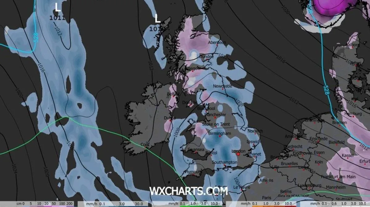
Central and northern England are likely to endure persistent downpours throughout the day.
After the marathon 21-hour bout of showers, snow is expected to have settled on the ground across multiple regions. This includes North Wales, Northern Ireland, northern parts of England (including west and North Yorkshire), and nearly all of Scotland.
The full extent of this Arctic onslaught will be revealed by snow coverage maps for 9pm on December 15.
Longer-Term Forecast and Official Outlooks
Looking further ahead, forecasters express significant uncertainty for the second half of December. The BBC Weather forecast for December 15-28 indicates very low confidence due to disturbances in the upper atmosphere.
It suggests high pressure could become more prevalent near the UK, leading to drier conditions and an increased risk of frost and fog before Christmas. While temperatures are initially expected to be near or slightly above average, there remains a risk of colder outbreaks later in the period if high pressure builds at higher latitudes.
Echoing this cautious outlook, the Met Office's forecast for December 16-30 also points to a greater chance of high pressure and drier weather compared to early December. However, they warn that spells of rain, showers, and stronger winds are still probable, especially in the west.
The Met Office also states that hill snow is a possibility, mainly in the north, and that while near-average temperatures are most likely, some colder spells are possible.
Residents across the affected regions are advised to monitor the latest weather warnings and travel updates as the predicted date approaches.