
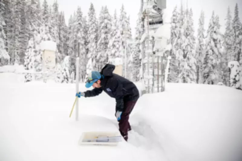
As the Presidents Day holiday weekend approaches, the National Weather Service has issued a significant winter storm watch for extensive portions of Northern California. Communities across the region are preparing for potentially severe weather conditions, with forecasts predicting several feet of snow accumulation in higher elevation areas.
Major Travel Disruptions Anticipated
The National Weather Service has explicitly warned travelers heading to and from the Sierra Nevada mountain range and its popular ski resorts to anticipate major travel impacts throughout the holiday period. Officials are urging all motorists to exercise extreme caution when navigating affected roadways and mountain passes.
Meteorologist Dakari Anderson from the National Weather Service office in Sacramento provided detailed insights to The Associated Press regarding the developing weather situation. Anderson emphasized that Saturday through Sunday morning represents the best travel window for those needing to reach their destinations before the incoming cold weather system intensifies.

Timeline and Snowfall Projections
While conditions remained relatively quiet on Saturday following some earlier snowfall during the week, weather patterns are expected to change dramatically beginning Sunday afternoon. Communities situated at elevations between 3,000 and 4,000 feet (914 to 1,219 meters) should prepare for substantial snowfall accumulations ranging from 1 to 2 feet (30 to 60 centimeters).
"Our highest snow accumulations are going to be in those kind of more hard to reach places, but we're still going to see some of those heavier amounts in communities that are populated," Anderson explained during his briefing with reporters.
Extreme Accumulations in Higher Elevations
Areas at even higher elevations face the prospect of dramatically more severe snowfall. Some locations could potentially receive between 6 and 8 feet (1.8 to 2.4 meters) of snow accumulation during the multi-day weather event.
Among the communities likely to experience these extreme conditions is Blue Canyon, a sparsely populated unincorporated area situated at 4,695 feet (1,431 meters) of elevation. This community lies approximately 51 miles (82 kilometers) west of the popular Lake Tahoe region and represents one of the locations most vulnerable to the heaviest snowfall.
Geographic Scope and Duration
The winter storm system is expected to persist for several days, potentially affecting not only Northern California but also extending its influence into portions of Western Nevada and Southern Oregon. This broad geographic impact increases the number of travelers and residents who should prepare for challenging conditions.
Residents and visitors alike are advised to monitor weather updates closely, adjust travel plans accordingly, and ensure they have adequate supplies should they become stranded or need to shelter in place during the storm's peak intensity periods.


