
UK Snow and Ice Warnings: Met Office Issues Alert - All You Need to Know
Sunshine is forecast for most of the UK on Saturday before new weather warnings for snow and ice come into force, according to the Met Office. The agency has highlighted potential disruptions as Arctic maritime air sweeps across the country.
Weather Warnings in Place This Weekend
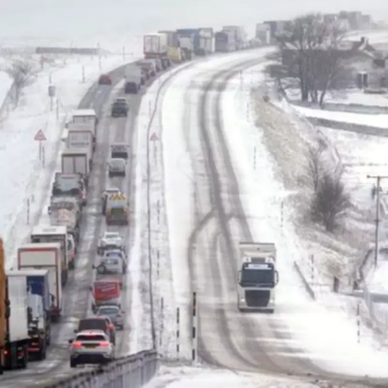
Saturday will be a sunny and cold day for most, but a series of warnings expired on Saturday morning, with fresh alerts set to activate later. A yellow warning for snow and ice, stretching from Derby to Scotland, will come into force at 9pm and run until 10am on Sunday. The Met Office stated that snow in these areas might be "heavy at times", which could cause some disruption to travel.
Accumulations of 1-3cm of snow are possible at low levels, with 3-7cm likely above about 150m elevation, and perhaps 10-15cm above 400m. Meanwhile, another yellow snow and ice warning will come into force in parts of Northern Ireland at 5pm on Saturday until 10pm. This warning indicates that 2-4cm of snow could fall above 200m, affecting the Glenshane Pass temporarily.

Forecast for Sunday and Beyond
Around lunchtime on Sunday, a band of heavy showers will move across parts of Northern Ireland and northern England, followed by sunny spells and blustery showers in the afternoon. The start of next week will remain unsettled, as noted by forecaster Mr. Stroud.
The Environment Agency has urged the public to remain vigilant amid the ongoing flood risk. On Saturday morning, there were 77 flood warnings and 160 flood alerts in place. Jonathan Day, flood duty manager at the Environment Agency, reported that more than 24,000 homes and businesses have been protected, but about 330 have been flooded.
Residents are advised to stay updated on weather conditions and travel advisories as the situation develops.


