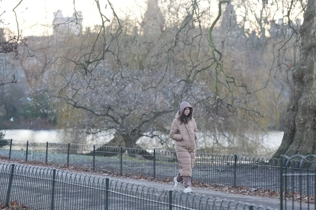
A cold weather health alert has been activated for London as temperatures plunge across the UK. The UK Health Security Agency (UKHSA) warning for the capital came into force at midday on Monday and runs until 8am on Saturday, November 22. Temperatures in London are expected to drop to as low as zero degrees Celsius on Wednesday and Thursday night, with daytime highs of just 5C or 6C. Some forecasters predict sleet could fall on the capital.
A more serious amber cold weather health alert has been issued by UKHSA for the North East, North West, and Yorkshire and the Humber, in effect from midday Monday to 8am Saturday. The alert warns of “significant impacts across health and social care services”, including a rise in deaths, particularly among those aged 65 and over or with health conditions. Snow and ice are possible after a spell of above-average temperatures, the Met Office said.
The Met Office has issued warnings for snow and ice for parts of Scotland from Monday to Thursday. The UK recorded its coldest night since March on Saturday when temperatures dropped to minus 7C in Tulloch Bridge in the Highlands. Met Office chief forecaster Paul Gundersen said: “Scattered showers feed into the North East and far north of mainland Scotland on Monday night, bringing a risk of icy conditions on roads and pavements. An area of rain will reach the west of Scotland early on Tuesday morning, with a risk of this turning to snow as it moves inland.”
By Wednesday, a “strong and very cold northerly flow” will make temperatures feel even colder. Deputy chief forecaster Tom Crabtree said: “Wednesday to Friday will be the coldest part of the week, and this period has the greatest potential for impactful weather, with multiple warnings in place. Overnight, temperatures could get down to minus 10C, with a significant wind chill from the strong northerly wind making things feel even colder.”
Wintry snow showers are expected to extend south through Wednesday and into Thursday, mainly affecting north facing coastal areas. Snow accumulations of 2-5cm are possible in some low-lying areas in the north and east, while hills in parts of Northern Ireland, northeast England and Scotland could see 5-10cm. Accumulations of 15-20cm are possible above 300 metres in parts of north-eastern England and Scotland. The Met Office advises people to keep up to date with the forecast as updates to warnings are possible.