
UK Braces for Significant Snowfall as Met Office Issues Yellow Warnings
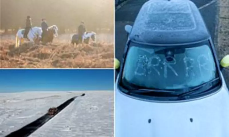
The Met Office has issued yellow weather warnings for snow and ice across various regions of the United Kingdom, with forecasts predicting up to six inches (15cm) of snowfall in some areas. This comes amid plunging temperatures that are set to dip as low as -1C, creating potentially hazardous conditions for travellers.
Widespread Alerts for Snow and Ice
A yellow warning for snow and ice stretching from Derby to Scotland will be active from 9pm tonight until 10am on Sunday. The Met Office has indicated that snow might be "heavy at times," which could lead to "some disruption to travel." Meanwhile, another yellow snow and ice warning will come into effect in parts of Northern Ireland at 5pm on Saturday, remaining until 10pm.
Forecasters predict varying accumulations depending on elevation: 1-3cm at low levels, 3-7cm at approximately 150m elevation, and as much as 10-15cm above 400m. In Northern Ireland, 2-4cm of snow could fall above 200m, potentially affecting the Glenshane Pass temporarily.

Weekend Weather Patterns
Saturday itself will be predominantly sunny and cold for most areas as Arctic maritime air sweeps across the country. However, conditions are expected to deteriorate as the day progresses. Met Office meteorologist Dan Stroud explained: "We do start to see skies turn hazy from the west during the course of the afternoon, pushing eastwards overnight. That rain, sleet and snow continues to push eastwards during the course of the morning."
The expected snow will later turn to rain at lower levels, with a risk of freezing rain in places that could create tricky travel conditions. By lunchtime on Sunday, a band of heavy showers will move across parts of Northern Ireland and northern England, followed by sunny spells and blustery showers in the afternoon.
Broader Weather Context
This cold snap follows one of the wettest starts to the year on record, attributed to a "blocked pattern" in the jet stream. Some areas of the UK have experienced continuous rainfall for six weeks straight (42 days). The Environment Agency has urged the public to remain vigilant amid ongoing flood risks, with 77 flood warnings and 160 flood alerts in place on Saturday morning.
Jonathan Day, flood duty manager at the Environment Agency, reported that while more than 24,000 homes and businesses have been protected, approximately 330 have been flooded. Met Office figures for February show rainfall already well above average across much of the UK, with some locations surpassing their entire month's typical rainfall within the first eight days.
Meteorological Explanations
The persistent unsettled weather pattern is blamed on the jet stream being positioned further south than expected for this time of year. When the jet stream shifts south across the Atlantic, it tends to funnel low-pressure systems directly towards the UK, increasing the frequency and intensity of rain-bearing weather fronts.
Cold plunges over North America have helped strengthen the jet stream, which then propels areas of low pressure toward northwest Europe. Simultaneously, high pressure has established over parts of northern Europe, creating what the Met Office describes as a "blocked pattern" that has prevented weather fronts from clearing the UK and instead caused them to stall, leading to persistent slow-moving bands of rain.
The start of next week is expected to remain unsettled, continuing the pattern of unpredictable weather that has characterized the beginning of 2024.


