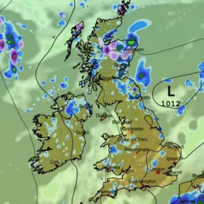
The Met Office has issued a yellow weather warning for Kent and parts of southeast England, as strong winds of up to 50mph are expected to sweep across the region. The alert, in place from early Wednesday morning, warns of potential travel disruption, power cuts, and damage to buildings.
What to Expect
Residents in Canterbury and surrounding areas should prepare for:
- Difficult driving conditions, particularly for high-sided vehicles
- Possible delays to road, rail, and ferry services
- Short-term loss of power in some areas
- Coastal routes potentially affected by spray and large waves
Safety Advice from Experts
Weather experts recommend:

- Securing loose outdoor items that could be blown away
- Allowing extra time for journeys and checking transport updates
- Being prepared for possible power outages with torches and batteries
- Avoiding coastal areas during peak wind periods
The strongest winds are expected between 6am and 6pm on Wednesday, gradually easing through the evening. While the Isle of Man may see even stronger gusts, Kent remains the primary focus for potential disruption in southeast England.
This weather system follows a period of unsettled conditions across the UK, with meteorologists monitoring the situation closely for any escalation in severity.