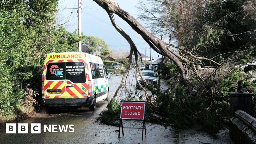
The Met Office has identified 14 areas across the United Kingdom that will experience heavy rain and strong winds on Thursday, 11 June. The entire country is set to be affected by downpours that may become locally heavy at times, according to the latest forecast.
Forecast Details
A wet and rather windy day is expected as rain spreads eastward, turning locally heavy but easing later. The forecast notes that it will feel muggy under widespread cloud cover, with drier conditions arriving by the evening. Blustery showers returned to most areas on Wednesday, with northern and eastern regions having the greatest chance of thunder and hail.
Jo Farrow, a weather expert from Netweather.tv, explained that Wednesday night will bring clear skies before high cloud and frontal rain arrive over Ireland. Thursday will be wet as a low-pressure system brings a spell of proper rain across the UK, turning wet and windy before clearing from northeast Scotland by evening. Temperatures will remain below average overall, although June sunshine between showers may provide a short-term boost in sheltered areas.

Areas Affected
The Met Office has listed the following regions facing heavy rain:
England
- North East England
- North West England
- Yorkshire & Humber
- East Midlands
- West Midlands
- East of England
- London & South East England
- South West England
Scotland
- Orkney & Shetland
- Highlands & Eilean Siar
- Grampian
- Central, Tayside & Fife
- Strathclyde
- Dumfries, Galloway, Lothian & Borders
Additionally, many areas in Northern Ireland and Wales are also expected to face similar wintry conditions. The Met Office added that an unsettled regime will persist across the UK for much of the week, with a mix of brighter intervals and frequent showers on Tuesday and Wednesday. Some showers may be heavy, with a chance of hail and thunder, while more widespread wet and windy weather is likely on Thursday.