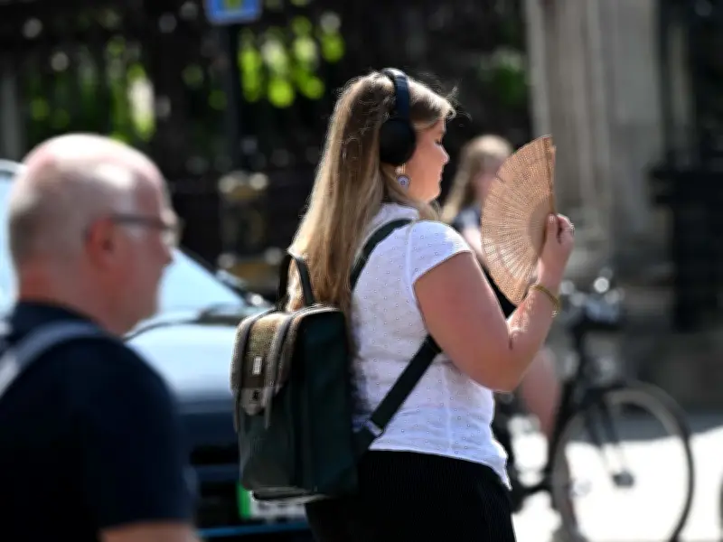
The Met Office has confirmed that the current heatwave gripping England and Wales will subside by Saturday, with temperatures forecast to drop by as much as 15 degrees Celsius from the peak on Wednesday. The relief comes after a rare red warning for extreme heat was issued for parts of the country, alongside an amber warning covering large areas.
Red and Amber Warnings in Effect
An amber weather warning for extreme heat came into force on Tuesday morning and will remain in place until Thursday. Areas under this warning are expected to see temperatures exceed 30°C, potentially reaching 38-40°C. A more severe red warning will affect several regions on Wednesday and Thursday, where temperatures are set to surpass 37°C and could climb to 38-40°C in some locations.
Almost 100 areas are impacted by the severe weather. Authorities have urged people to stay out of the sun between 11am and 3pm, when the sun is strongest, to avoid heat-related health risks.

Temperature Drop from Saturday
According to the Met Office, more bearable conditions will arrive from Saturday onward. Temperatures on Saturday are expected to be up to 15°C lower than the peak on Wednesday, when thermometers could hit 40°C. The forecaster’s outlook for Saturday through to July 6 states: "Fairly changeable conditions at first with periods of rain and showers, and there could be some thundery outbreaks at times. There will likely be some drier and brighter spells though."
Looking further ahead, the Met Office added: "Into July changeable conditions are likely to continue as Atlantic lows move in from the west, but with transient periods of high pressure. This will lead to spells of rain and cloud interspersed with more settled periods. Temperatures remain widely above average, and the far southeast may retain some of the hot temperatures at first, but likely cooler than the preceding few days."