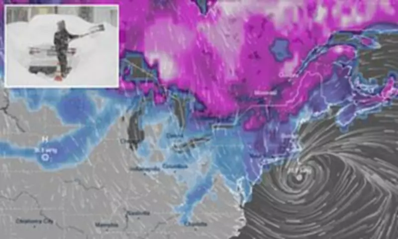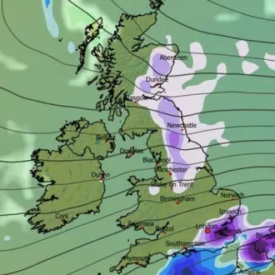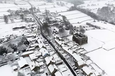
A significant winter storm named Hernando is poised to strike the United States this weekend, delivering a potent mix of heavy snowfall, powerful winds, and torrential downpours across multiple regions. The storm system, which is expected to take shape on Saturday and persist through Monday, will primarily impact the Northeast and Mid-Atlantic states with freezing temperatures as low as 30°F and fierce winds.
Snowfall Predictions Escalate Rapidly
Cody Snell from the Weather Prediction Center noted on Friday evening that initial forecasts of mild flurries have been swiftly upgraded to predictions of substantial snowfall. Meteorologist Bill Goodman indicated that the National Weather Service is anticipating approximately six to twelve inches of snow in the New York City area, though he cautioned that this estimate "could be conservative" due to the storm's evolving intensity.
Extended Duration and Peak Impact
Snell described the approaching weather event as "a longer duration event," with snowfall potentially lasting between 18 to 24 hours. The heaviest accumulations are forecast for late Sunday into the early hours of Monday, before the storm gradually subsides by Monday afternoon. Areas spanning from Boston to Philadelphia face around a 50 percent probability of receiving six inches of snow, according to reports.
Widespread Hazards and Uncertain Trajectory
Experts are issuing warnings for potential blizzard conditions and coastal flooding along the East Coast, accompanied by winds reaching speeds of 30 to 50mph across the country. The storm's path remains somewhat uncertain, with Saturday expected to bring clearer forecasts. The Fox Forecast Center suggested the system might move offshore on Sunday, transforming into a robust coastal storm, and emphasized that "even a 50-100 mile jog east or west with the storm will result in less or more snow for millions."
Freezing Rain and Rapid Development
Prior to the onset of snow, some regions may experience freezing rain due to warmer winds, adding to the hazardous conditions. Winter Storm Hernando has developed rapidly, initially predicted to cling to the coastline before shifting inland on Friday afternoon, catching forecasters by surprise.
Broader National Impacts
Forecasters have alerted that "significant" snowfall could affect 27 states later this week and into the weekend. A separate Pacific storm has already triggered winter storm alerts across much of the Western and central states. AccuWeather meteorologist Brandon Buckingham remarked, "There are a lot of pieces to the puzzle that would have to come together at the right time for a major storm to unfold and bring heavy snow late this weekend to early next week."
Western Snowfall and Avalanche Risks
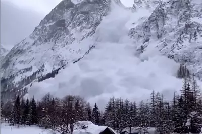
The storm initially struck California on Tuesday, addressing snow deficits in states like California, Colorado, and Utah. AccuWeather Chief On-Air Meteorologist Bernie Rayno projected that parts of the Sierra Nevada could accumulate 12-16 feet of snow by late next week. Donner Pass recorded just over five feet of snow by Wednesday, with northern and central Nevada seeing 55 to 70 inches in the past 72 hours. AccuWeather Meteorologist Alyssa Glenny highlighted avalanche risks in passes and high-country areas, noting, "Along with the obvious problems from heavy rates of snow will be the potential for avalanches."
Tragic Avalanche and Regional Preparations
A sudden avalanche in Northern California's backcountry on Tuesday trapped a large group of skiers, resulting in at least eight fatalities and one person missing. Lower coastal and valley areas are bracing for rain and localized flooding, with southern and west-facing hillsides potentially receiving 4 to 8 inches of precipitation. Both Los Angeles and San Francisco are anticipated to endure a multi-day storm, with total rainfall reaching 2 to 4 inches.
Second Major East Coast Storm This Season
Winter Storm Hernando represents the second significant winter weather system to hit the East Coast this season, arriving as snow piles from the previous storm are just beginning to melt and temperatures have recently risen above freezing. This back-to-back impact underscores the severe and unpredictable nature of this winter's weather patterns, prompting residents and authorities to remain vigilant.


