
The Met Office has delivered its verdict for the coming weekend, indicating that widespread snowfall across the UK is now highly unlikely. This follows a significant period of disruptive winter weather earlier in January 2026 that brought heavy snow, ice, and powerful storms.
Recap of the Early 2026 Cold Snap
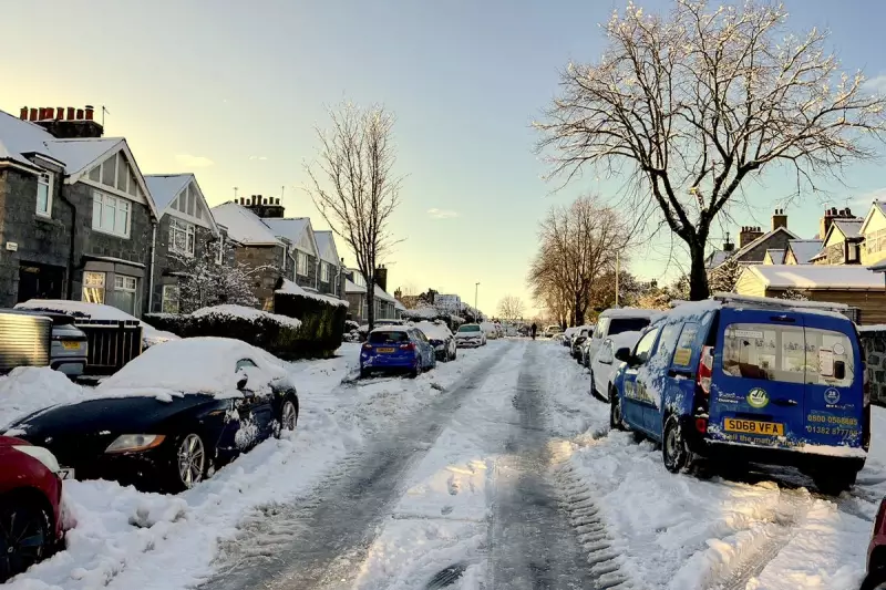
The nation has just endured a week-long cold snap, driven by an Arctic blast that gripped the country. The period was marked by heavy snow in Scotland and the arrival of Storm Goretti, which caused extensive disruption, including power outages and travel chaos.
In northern Scotland, wintry conditions were so severe that thousands of children missed school. Parts of England and Wales were buried under up to 25cm of snow, with some areas reporting it as the worst snowfall in a decade.

The Current Weather Outlook
Temperatures have now stabilised across most regions. For the weekend, the Met Office predicts conditions will remain near the seasonal average. Forecasters expect temperatures to range from around 4°C in the North to a milder 9°C in London and the South East.
While yellow warnings for rain and fog have been in place for parts of England and Wales this week, the immediate threat of snow has passed. Meteorologists state that colder weather is not expected to return in the immediate future.
Looking Ahead to Next Week
The stabilisation looks set to continue into the following week. The Met Office's projection suggests that for most of the UK, temperatures will likely remain near or around average for the time of year. This offers a respite from the extreme conditions witnessed earlier in the month and allows for recovery from the impacts of Storm Goretti.
Residents are advised to stay updated with the latest local forecasts, but can plan for a weekend largely free from the winter whiteout that characterised the start of the year.


