
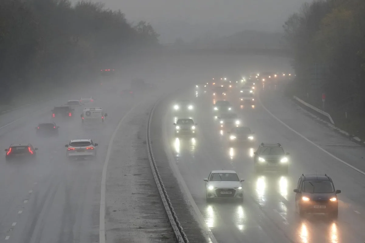
The Met Office has issued a series of yellow weather warnings for heavy rain and strong winds across the UK, with gusts of up to 70mph expected in some areas. The warnings come into effect from Monday evening and continue into Wednesday, bringing risks of flooding and travel disruption.
Strong winds of around 50mph are forecast across Wales and southwest England from 10pm on Monday until 4pm on Tuesday, with gusts of up to 70mph possible along exposed coasts and high ground in northwest Wales. The Met Office warned that transport networks could face delays, particularly for high-sided vehicles on exposed routes and bridges, and that coastal roads and seafronts could be affected by spray and large waves. Power outages are also possible.
Heavy rain is expected to bring up to 100mm of rainfall across Wales and southwest England from 8pm on Monday to 6pm on Tuesday, with the warning also extending to parts of Hampshire and Oxfordshire. The Met Office warned of potential flooding of homes and businesses, and that some communities could be cut off. Another rain warning is in place for northwest England from midnight on Tuesday until 3pm, while a wind warning has been issued for northwest Scotland from 3pm on Tuesday until 10am on Wednesday.

Met Office deputy chief meteorologist Dan Holley said: “Whilst there is some uncertainty as to the exact track and intensity of the area of low pressure as it passes close to western Scotland later on Tuesday, many parts of the UK are likely to see spells of rain which, given saturated ground, could lead to flooding and delays to road and rail travel. In addition, strong winds are expected, particularly in northern and western areas. We are closely monitoring developments and may issue updates to the warnings as the situation evolves.”
Twelve flood warnings were already in place across England early on Monday morning, following a yellow warning for heavy rain in Northern Ireland on Sunday. The Met Office forecast for the rest of December remains unsettled, with further periods of low pressure predicted, though it is too early to provide an accurate forecast for the Christmas period.


