
Storm Goretti has caused widespread disruption across the UK, with winds of nearly 100mph, heavy snow, and power cuts affecting thousands. The Met Office issued a rare red warning for dangerous winds in the south-west, where over 37,000 properties lost power on Friday evening. In the West Midlands, more than 3,000 homes were without power, while the East Midlands and Wales saw over 1,000 and 240 respectively.
Downing Street confirmed that around 0.21% of British customers were without power, with engineers working to restore supplies. Approximately 150,000 customers had their power reconnected by Friday evening. Snowfall was significant, with Altnaharra in Sutherland recording 27cm, and 26cm at Loch Glascarnoch. The lowest overnight temperature was -13.3C at Braemar in Aberdeenshire, while a peak gust of 99mph was recorded at St Mary's on the Isles of Scilly, the highest since 1991.
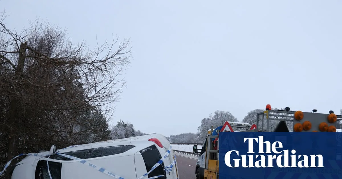
Travel chaos ensued, with at least 69 flights cancelled at Heathrow, affecting over 9,000 passengers, mostly British Airways short-haul services. National Rail warned of possible disruptions across Great Britain. Dozens of schools closed in the Midlands and Wales, and over 250 schools remained shut in Scotland, including more than 150 in Aberdeenshire.

The Met Office's chief forecaster, Steve Willington, warned of further snow on Sunday, particularly in Scotland, with 2-5cm at low levels and 10-20cm over higher ground. Yellow warnings for snow and ice remain in place across much of Scotland, England, and Northern Ireland. The storm, named by Météo France, was described as a 'multi-hazard event'. Forecasters also warned of increased flood risk as melting snow and rain combine in the coming days.


