
The Met Office has issued new yellow weather warnings for wintry conditions across most of the UK this weekend, as an Arctic blast brings snow, sleet, hail, freezing rain, and icy conditions. The warnings, which cover potential travel disruption, remain in place until Sunday morning.
From 4pm Friday until 10am Saturday, warnings for snow, sleet, and hail showers are in effect for northern Scotland and coastal areas of north-east England and Yorkshire. Meanwhile, an ice warning covers Wales, south-west England, northern England, the Midlands, and the east of England down to London from 5pm Friday to 10am Saturday. Northern Ireland is under a separate ice warning from 8pm Friday to 10am Saturday.
A further snow and ice warning comes into force from 9pm Saturday to 10am Sunday, covering Scotland and northern England, with forecasters predicting potentially heavy snow and freezing rain. The wintry conditions are expected to create hazardous ice on untreated roads and pavements, leading to travel disruption.

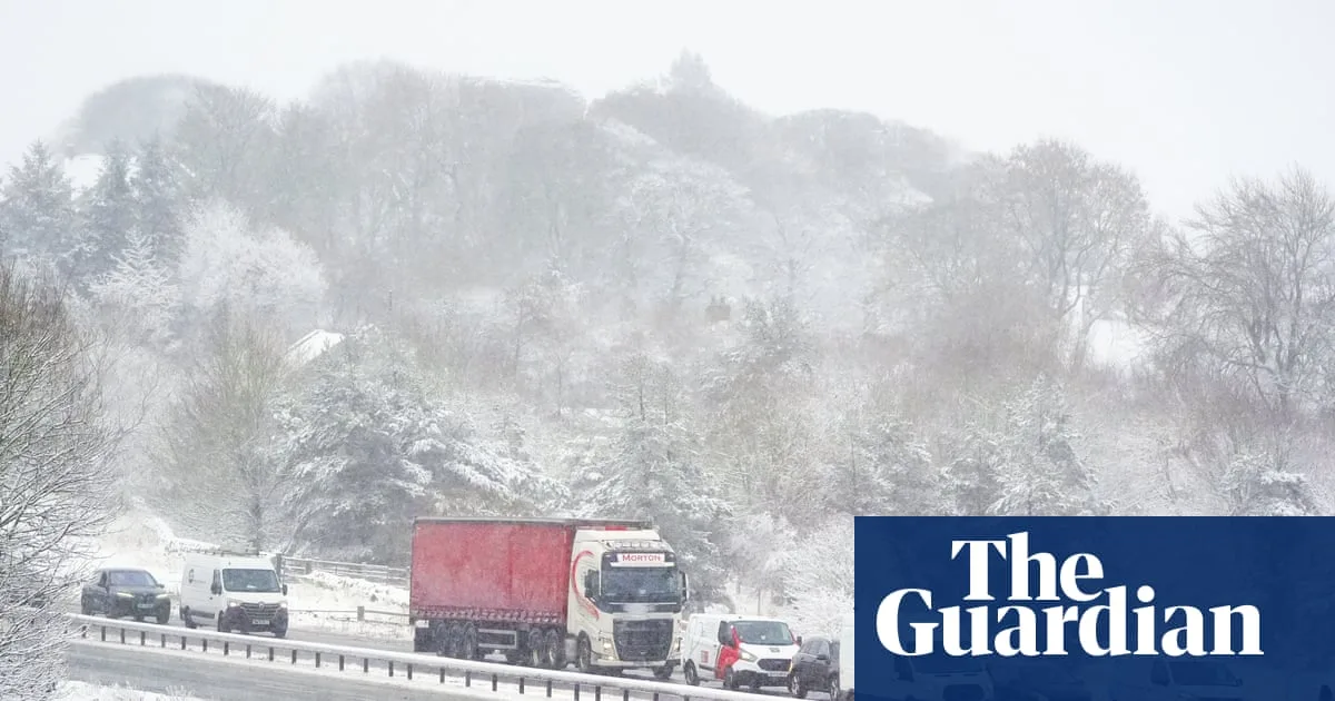
National Highways reported that the A66 across the Pennines was closed between Bowes in County Durham and Brough in Cumbria due to concentrated snowfall. Crews are working to clear the carriageway, but snowfall is expected to continue throughout Friday morning. Road users are advised to plan ahead and consider alternate routes.
The UK Health Security Agency has issued yellow cold weather alerts for northern England and the Midlands from 6am Friday to 8am Monday, warning of increased risk to life for vulnerable people. This follows a wet start to 2026 for many parts of the UK, with some areas experiencing 40 days of rain, and Aberdeen enduring 21 days without sun until a brief appearance on Thursday.


