
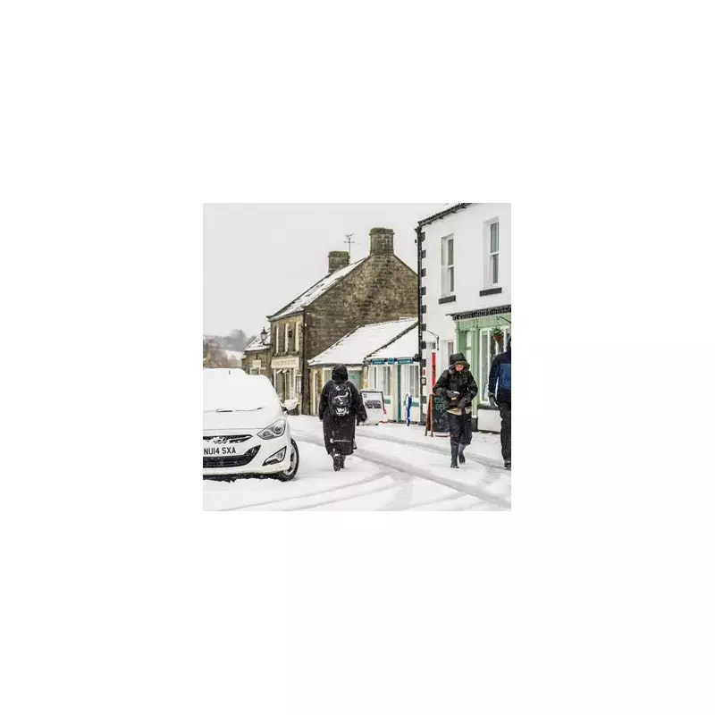
New weather maps have captured two incoming freezing rain systems that are poised to descend across the United Kingdom, as the nation braces for what could be the most significant snowfall of January. Britons are preparing for a late January Arctic blast that threatens to disrupt travel and daily life with hazardous conditions.
Temperature Plunge and Widespread Snow Expected
After a brief period of relatively mild weather over the last two weeks, with temperatures hovering in the high single figures across England, Scotland, and Wales, a dramatic change is on the horizon. According to the latest data from WXCharts, temperatures are set to tumble sharply, dropping into the 1C to 2C range for many areas, with some regions, particularly in Scotland, experiencing minus figures as low as -4C.
This sudden cold snap will be accompanied by widespread snow and freezing rain, with forecast models intensifying their predictions for mid-next week. The combination of plummeting temperatures and precipitation creates a perfect storm for dangerous winter weather across the nation.

559-Mile Snowstorm System Develops
Weather maps indicate that a substantial snowy system will begin developing over much of the UK starting next Wednesday, January 27. This 559-mile Arctic blast will move in from the west over Wales before creeping eastwards across England, eventually engulfing a massive portion of the country stretching from London to Inverness.
The system is expected to generate flurries powerful enough to accumulate up to two inches of snowfall widely, with some areas experiencing freezing rain as temperatures range from 2C to as low as -4C in Scotland. This significant weather event promises to be one of the most impactful of the winter season so far.
Freezing Rain Showers Target National Parks
Two distinct freezing rain showers will develop in England, both forming over high ground in two of the country's most famous national parks. The first will descend over the length of the Peak District National Park at approximately 6am, spanning a large portion of this iconic range.
This system will then gradually travel northwards, eventually unleashing another round of freezing droplets over the North Pennines National Landscape by midday on January 27. These freezing rain events add an additional layer of danger to the winter weather scenario, creating treacherous conditions on roads and pathways.
Met Office Forecast and Long-Range Predictions
While the weather maps suggest these two spells of freezing rain will be the only such events on the day, which appears largely dominated by snow, the Met Office has indicated that rain is more likely during this period. The agency's long-range forecast covering January 26 to February 4 states that temperatures will turn somewhat colder, raising the risk of snow while rainy conditions dominate.
The Met Office forecast explains: "Weather systems moving in from the Atlantic will continue to attempt to push in from the west, but tending to stall in the vicinity of the UK as they encounter high pressure to the north and northeast. As a result, further spells of rain or showers are likely at times. These may be heavy and persistent, especially in the south and west, with the best of any drier interludes in the far north and northeast."
The forecast continues: "Whilst mild conditions are expected to encroach into the south and southwest at times, it is likely to turn somewhat colder through this period, bringing the risk of some snow, most likely across hills in Scotland and northern England, but perhaps extending to other areas with time."
This developing weather situation requires careful monitoring as the week progresses, with residents across the UK advised to prepare for potentially hazardous conditions and stay updated with the latest forecasts from official sources.


