
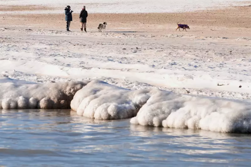
Meteorologists are issuing urgent warnings about a dangerous winter blast poised to strike much of the United States, attributing the severe forecast to a stretched polar vortex, abundant atmospheric moisture, and critically low Arctic sea ice. Experts caution that the eastern two-thirds of the nation faces a winter storm with the potential to rival the destructive impact of a major hurricane, with frigid conditions expected to persist well into February.
Origins in a Warming Arctic
The complex weather system has its roots in the rapidly warming Arctic region. Relatively warmer Arctic waters and cold continental land masses are combining to elongate the polar vortex—a patch of intensely cold air typically confined to northern Canada and Alaska. This stretching effect is driven by atmospheric waves linked to ice-free Arctic zones and snow-covered Siberia, setting the stage for a severe southward plunge of bone-chilling air.
"The atmosphere is aligned perfectly that the pattern is locked into this warm Arctic, cold continent," explained former National Oceanic and Atmospheric Administration chief scientist Ryan Maue, now a private meteorologist. "And it's not just here for us in North America, but the landmass of Eastern Europe to Siberia is also exceptionally cold. The whole hemisphere has gone into the deep freeze."

Scientific Research Points to Climate Links
Winter weather expert Judah Cohen, an MIT research scientist, noted that conditions for this stretched polar vortex event were being set up as far back as October 2025, with changes in the Arctic and diminished sea ice creating the perfect environment for severe winter weather outbreaks. Cohen co-authored a July 2025 study that found an increasing frequency of stretched polar vortex events linked to severe winter weather bursts in the central and eastern United States over the past decade.
"Those conditions kind of loaded the dice a bit for a stretching of the polar vortex," Cohen stated, highlighting how heavy Siberian snowfall contributed to the atmospheric push-and-pull that warps the normally circular air pattern. Research indicates that dramatically low sea ice in the Barents and Kara seas helps establish wave patterns that ultimately trigger cold outbreaks across the United States.
Forecast Details and Potential Impacts
The National Weather Service warns that most areas east of the Rocky Mountains will experience impacts from the bitter cold, with significant snow or ice accumulation expected. The stretched polar vortex center is projected to position itself above Duluth, Minnesota, by Friday morning, ushering in what Maue describes as "long-lasting brutal cold."
Temperature forecasts are particularly alarming:
- Northern and Midwestern regions could see temperatures plummet to minus 25 or 30 degrees Fahrenheit (minus 32 to minus 34 degrees Celsius)
- The average low temperature for the Lower 48 states may hover around 11 or 12 degrees (minus 12 to minus 11 degrees Celsius) across Saturday, Sunday, and Monday
- Two Great Lakes—Erie and Ontario—may freeze over, potentially reducing lake-effect snow
Ice and Snow Threats Across Multiple Regions
National Weather Service meteorologist Zack Taylor of the Weather Prediction Center highlighted the dual threats of freezing rain and heavy snowfall. "We're looking at the potential for impactful ice accumulation," Taylor warned. "So the kind of ice accumulation that could cause significant or widespread power outages or potentially significant tree damage."
Areas at particular risk include:
- The southern plains through the mid-South and into the Carolinas for treacherous freezing rain
- The Ozarks region, Tennessee and Ohio valleys, central Appalachians, mid-Atlantic, and portions of the northeast for significant snowfall accumulations
Maue added an especially concerning prediction for the mid-Atlantic region around the nation's capital: "You can get two blizzards on top of each other in the next 14 days." The winter storm is forecast to stretch from New Mexico to New England, threatening at least 250 million people with what meteorologists describe as a devastating dose of winter weather.

Long-Term Implications and Climate Connections
The current weather event underscores the complex relationship between Arctic warming and mid-latitude winter extremes. The National Snow and Ice Data Center reports that Arctic sea ice is at a record low extent for this time of year, with studies finding that a warmer Arctic is causing sea ice in certain regions to shrink faster than elsewhere.
This meteorological situation demonstrates how climate change can paradoxically contribute to more extreme winter weather events through mechanisms like polar vortex disruption. As the Arctic continues to warm at an accelerated rate, meteorologists warn that such stretched polar vortex events may become more frequent or intense, with significant implications for winter preparedness and infrastructure resilience across affected regions.
The prolonged nature of the forecast cold spell means that any accumulated snow and ice will take an extended period to melt, potentially causing disruption to transportation, energy systems, and daily life across much of the United States well beyond the immediate storm period.


