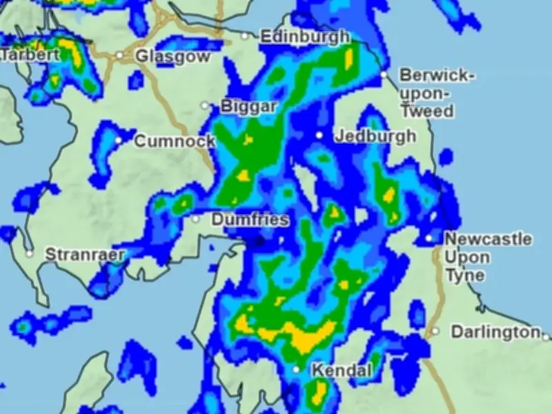
The Met Office has indicated when the next UK storm could arrive, with Storm Chloe set to follow Storm Boelo as wet and windy weather returns later this week. Yellow weather warnings are in place once again.
Storm Chloe named as next on 2026/27 list
Chloe is the next available name on the 2026/2027 storm list used by the UK, Ireland, and the Netherlands. It will be designated if a weather system intensifies to the point where it triggers amber or red weather warnings somewhere in the country.
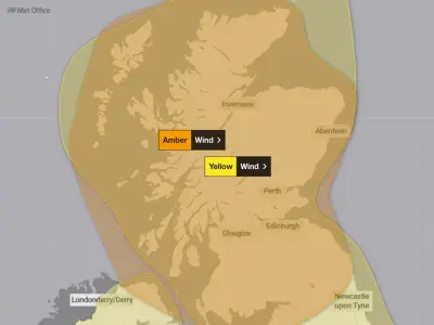
Met Office forecaster Aidan McGivern said: "It's a very similar situation to Boelo on Monday and Tuesday, in other words, the strongest winds expected to affect northern parts of the UK and expected to arrive on Tuesday. Risks of 70mph wind gusts, yellow warning in force, but of course we'll be watching this one very closely."
Forecast for the coming days
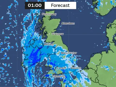
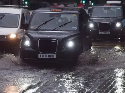
On Monday, it is cloudy, with rain moving in from the southwest, and the rain clears most places by the evening. The wind strengthens by the afternoon, especially over the Pennines, with a maximum temperature of 15 °C.
From Tuesday onwards, it remains breezy, with showers on Tuesday. It is dry but windy on Wednesday, and it then turns increasingly settled, with lighter winds by Thursday.
Storm Boelo disruption continues
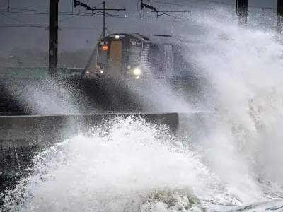
Storm Boelo has caused travel disruption, with the Redheugh Bridge closed amid the existing Tyne Bridge closure. Northern Rail has announced service cancellations, CrossCountry has warned of delays, and Tyne and Wear Metro services were suspended earlier in the day.
At Newcastle International Airport, some flights were unable to land safely and were diverted to other airports in the UK because of the ongoing heavy winds. Thousands of households in the region have been left without power, and several events were called off today.