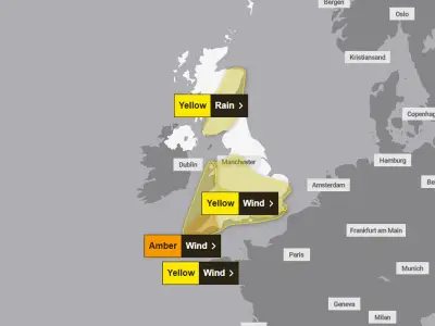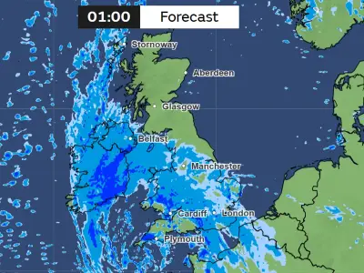
The Met Office has issued a fourth weather warning for rain as Storm Boelo hits the UK, covering 57 areas across England and Wales. The alert is active from 11am to 11pm today (Saturday, October 24).
Rain Warning Details
Most of Wales, along with the South West, North West, and South East England regions, are included in the warning. The Met Office stated that heavy rain will bring "a high likelihood of moderate impacts from surface water flooding" and advised people to check if their properties are at risk.
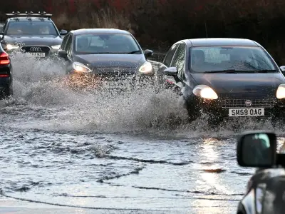
"If so, consider preparing a flood plan and an emergency flood kit," the forecaster advised. Spray and flooding on roads is likely to extend journey times, while power cuts and public transport disruption could also occur.
Expected Rainfall and Impacts
Flooding "of a few homes and businesses is possible," the Met Office added. The forecaster said: "Heavy rain in association with Storm Boelo is expected to lead to surface water flooding in places."
"Twenty five to thirty millimetres is expected widely across the warning area during this time, with a few places such as upland areas seeing 50-60mm, and some of this perhaps falling within 6 hours. Rain will ease for a time through the evening, but this will be followed by another intense band of heavy rain following in from the west, before the whole system clears away eastward to bring a clear night with a few scattered showers following on."
Additional Wind Warnings
Three wind warnings are also in force today, following Storm Austen yesterday. A yellow wind warning covers all of Northern Ireland from 10am until noon tomorrow. Another yellow wind warning covers all of Scotland and northern England from midday today until 9pm tomorrow.
An amber wind warning is in place for 24 hours from 9pm today, covering all of Scotland, northeastern Northern Ireland, and Northumberland and Cumbria in England.