
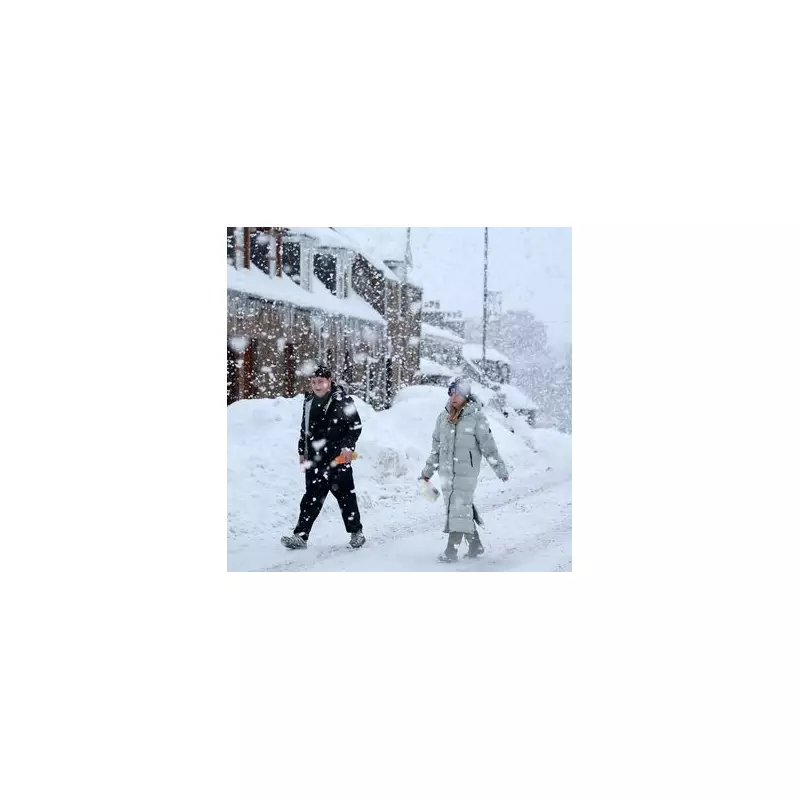
The Met Office has issued its verdict on the potential return of a 'Beast from the East' weather phenomenon, as new meteorological maps project a colossal 600-mile snow blanket and a severe plunge in temperatures across the United Kingdom towards the end of January.
Met Office Forecast Points to Colder Influence from the East
In its latest long-range forecast, covering the period from January 20 to 29, the national weather service indicated that the UK is likely to come under 'some influence from the east'. This shift in weather patterns could usher in significantly colder conditions later in the period, increasing the likelihood of widespread snow.
The forecasters explained that a battle is expected between milder Atlantic systems from the west and colder, high-pressure conditions attempting to push in from the east. While changeable, milder weather is predicted to dominate initially, the chance of a colder transition increases later, bringing with it a heightened risk of snowfall across many parts of the country.

Weather Maps Paint a Picture of Widespread Snow and Extreme Cold
Detailed weather maps from WXCharts align with this cautious outlook, visualising a substantial cold spell taking shape around January 28. The data suggests the first snow showers could arrive in Wales, Scotland, and Northern Ireland by 6am on January 27.
The situation is forecast to intensify rapidly. Over the following 12 hours, heavy snow – falling at rates of up to 0.4 inches (over 1cm) per hour – is projected to sweep across nearly the entire nation. By the evening of the 27th, a continuous band of snow is shown stretching from Colchester in the south to just below Inverness in Scotland.
After a brief pause, the snow is predicted to return with vengeance on January 29, covering the country from tip to tail – a distance of more than 600 miles – with accumulations of up to two inches in places. By 6am on Friday, January 30, only London, parts of the east coast, Devon's far west, and some areas of southern Wales are shown escaping the snow cover.
Temperatures Set to Plummet to Dangerous Lows
Accompanying the snow will be a dangerous and penetrating freeze. The maps indicate temperatures sinking to between -1C and -6C across England, with Wales seeing similar lows of around -5C. The most extreme conditions are forecast for Scotland, where the mercury could plunge to a bone-chilling -12C in exposed areas like Inverness in the early hours of January 30.
This follows a period earlier in January where the UK was gripped by a bitter freeze, leading the Met Office to issue a series of yellow, amber, and even a rare red weather alert warning that the conditions posed a 'danger to life' and risked cutting off communities.
Forecasters Urge Caution Amid Uncertainty
Despite the dramatic projections, the Met Office has emphasised that the forecast remains uncertain. A spokesperson, Grahame, noted that the immediate future would see temperatures near average and that the predicted cold spell for late January could still change.
“While there’s still a slight possibility that winds from the east could bring a chill during the final week of January, that is still a long time away giving time for the forecast to change,” he said. “For now, it’s just as probable that milder southern air will persist, keeping the cold at bay.”
Nevertheless, the combination of the Met Office's long-range outlook and the detailed weather maps serves as a stark reminder for Britons to stay informed and prepare for the possibility of another significant winter disruption before the month is out.


